Limbe speaks English. Some of the northern part of Cameroon is anglophone: similarly to Togo, the colony was divided between the British and the French when the Germans, occupants of the original colony, were defeated in the first world war. The difference is that the English-speaking part of Cameroon got subsequently divided.

By referendum, the northern part, Muslim, decided to merge with Nigeria. The southern part, Christian, made up of the hilly regions of Limbe, Buea, Bamenda, voted for remaining with the French Cameroun. As of today, the county is bilingual, in theory. But since the major part of the county, including the economic capital Douala and the administrative capital Yaoundé, are French speaking … it is easier to find bilinguals among the anglophones than among the francophones.

In the streets of Limbe, everybody speaks very well both English and French. I have been complimented on my English by people after they learnt I was French … letting me guess about the kind of tourists coming here. I was also axed what is my traditional language, besides French. “Hem … I speak only French, this is the language of my country, why?“.
“No, you must have a traditional language! See, we here, we speak French and English, but we all have our own tribe, with our own names, own language, etc. What is your village in France? I am sure your have a traditional language! Axe your parents! You can’t be speaking only French, can you?”
")
No, I don’t speak only French (which, by the way, is not only used in colonies around the world, there are somewhere even native speakers of this language!) but all my languages are languages of colonizers. And we can’t really say there are tribes in France with their own language, to the extent of what it is in Africa … The truth is that everyone here has two cultures, the local one and the colonizer’s one, via the language, TV, music, family abroad, products imported, … and at least 2 languages: the colonizer’s one and the native one, but often more: if different, the language of the spouse, of the area, the de facto national local language, of the neighboring ethnic group, etc. Next to this, I agree, the White tourist looks culturally poorer, having for special artifacts only a camera and a big wallet.

The interesting thing about crossing from Benin through Nigeria to Cameroon is the currency: Nigeria uses nairas and the two others use the franc CFA. But there are 2 francs CFA: the West African CFA franc (currency code XOF) and the Central African CFA franc (currency code XAF). Both francs are tied to the euro with the same fixed rate (1 € = 655 XOF = 655 XAF), but they are two different currencies managed by two different central banks, the BCEAO in Abidjan for the XOF of the UEMOA and the BEAC in Yaoundé for the XAF of CEMAC.
The West African CFA franc is the official currency of Senegal, Guinea-Bissau, Mali, Ivory Coast, Togo, Benin, Burkina Faso, and Niger, and the Central African CFA franc is in use in Cameroon, Chad, the Central African Republic, Gabon, Equatorial Guinea and Congo (Brazzaville).
The coins and notes are worth the same, but they are different. I was told I can easily swap them, but it is not the case: there is an exchange market like for any currency. I should have changed all my West African CFAs into nairas, and then into Central African CFAs, enriching the Nigerian black market because of this stupidly nonconvertible same currencies. For the record, the convertibility originally existed, but it was stopped some 20 years ago because the balance was not right. The XOF was getting too strong with many West Africans working in Central Africa and swapping XAFs for XOFs.
 and from Central Africa (the blunt ones), and nairas")
The history of both currencies is directly linked to the colonial times: the two zones UMEOA and CEMAC are roughly equivalent to what used to be the AOF (Afrique Occidentale Francaise) and the AEF (Afrique Equatoriale Francaise). Since the independence of the colonies, three countries have left the franc CFA: Guinea, Mauritania and Madagascar. A country who cannot print its own money isn’t really sovereign, especially when this money is tied to the Euro and where the two African central banks must store half of their reserves in France. French nationals have a veto right in the board of directors of those two central banks too. It allows French companies to import resources from Africa at a fixed rate, and repatriate their benefits back home without any loss. It seems like a very good trick from the former colonial power, and on the other hand, I don’t know how it can support the emergence of the African countries. It probably helps with stability, as I only know Mauritanian ougiyas and Guinean francs are annoying to deal with, because you need 20000 of them to buy a dish of rice, for example (there, one must read about Foccart and the Opération Persil, as France secretely printed fake bank notes to ruin Guinea’s new currency). And when three have left, two countries have joined the CFA zone on their own will, Guinea-Bissau (who had too many presidents and too many coups since independence) and Equatorial Guinea (who had only 3 presidents in 45 years since independence, including the current president Obiang, re-elected with 95%, 97%, 98% and even 103% of votes).
Those stories are interesting, but they don’t help me with about 100 € worth of West African CFAs not easily convertible into Cental African CFAs.

Since the ferry dropped me on the foot of Mount Cameroon, the highest peak of West Africa (culminating at 4095 m according to Cameroonians, but the right figure is more around 4040 m), it is the opportunity to climb it. After 5 days of rest in Limbe (cycling 1000+km within 10 days in Nigeria kind of killed my legs), I head up for Buea, the highest town on Mount Cameroon.
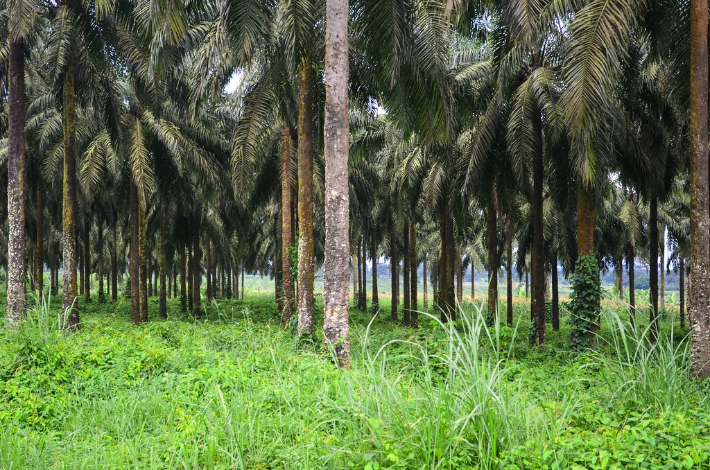
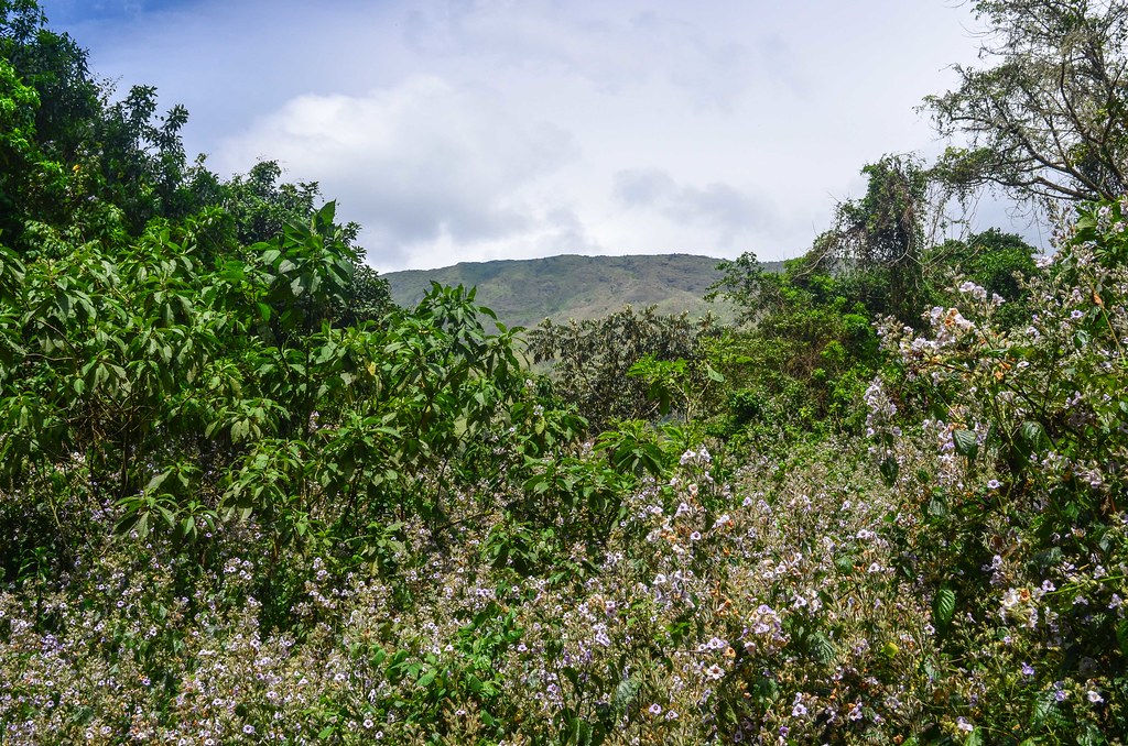
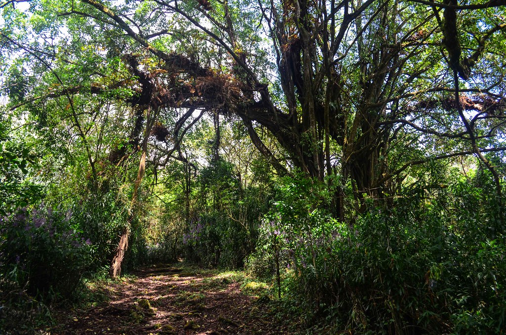
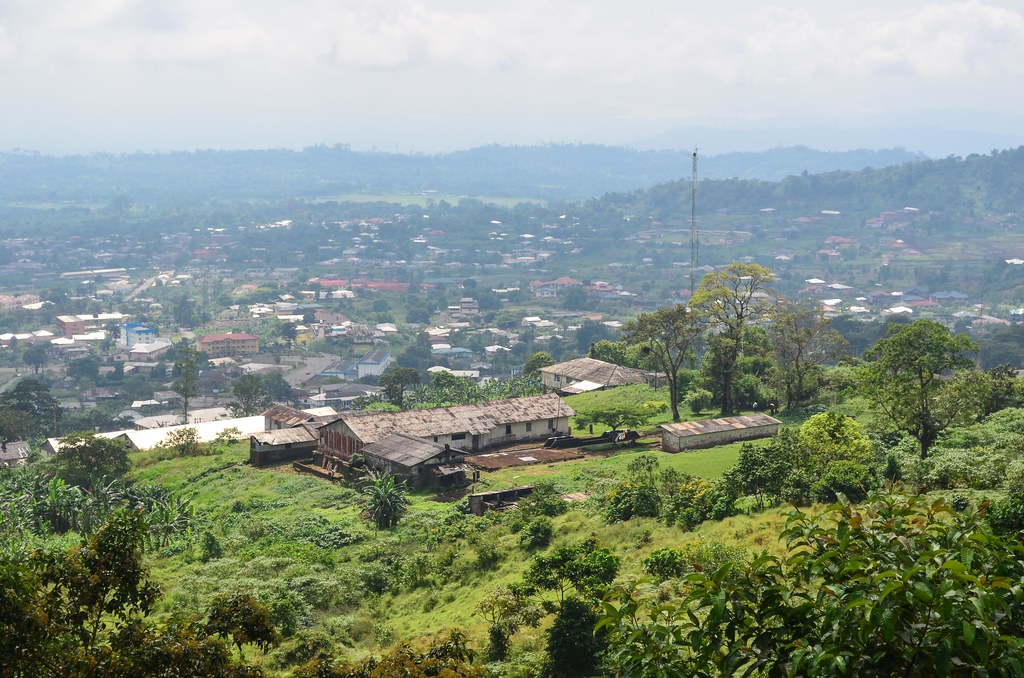
Palm plantations are all over the valley. The slopes are steep, and the sun hits me hard. Limbe is on the coast and Buea (to be pronounced “Boya”) is over 900 meters of elevation.


Buea is the capital of the South West region, and is historically important: it was the capital of the German Kamerun until 1919, and was later on used by the British as the capital of Southern Cameroons. The reason is that it is much colder there than in the rest of the tropical country.


Still, with this slope, I reach the end of the road , where the proper mountain begins, completely drenched in sweat. And also with heavy legs, as I have not cycled a day with 1000+ m of elevation gain in a while.

I find by chance the new location of the Ecotourism organization, the one responsible for giving permits to climb the mountain. Kafman, the owner of the restaurant in Ugep in Nigeria I had dinner at, told me his relatives are from Buea, and it happens that his uncle is the manager of Ecotourism and his sister the manager of the Mountain Club. Quite a coincidence!

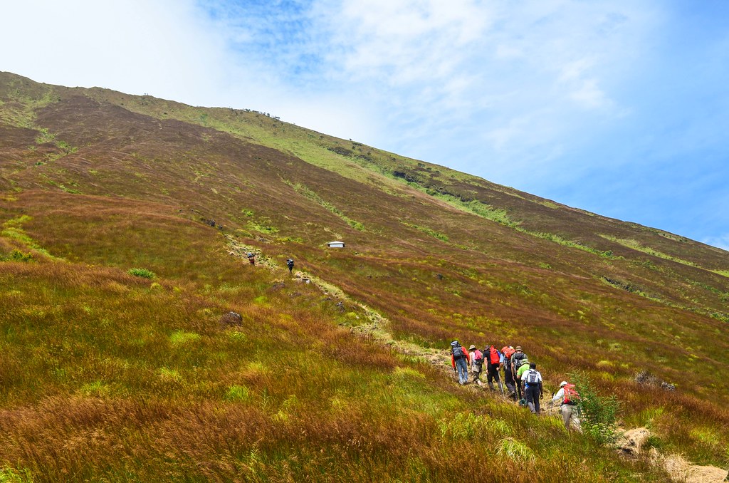
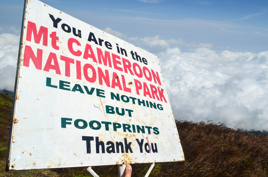
Like for the Kilimanjaro, it is not allowed to climb Mount Cameroon like any other mountain: it is a simple hike (during the race held once a year, the winner reaches the top in 4 h 30 min) but tourists must pay park fees and hire a compulsory guide and porter. It is not yet the tourist trap that Kilimanjaro is, where fees are so steep one cannot get to the top for less than 1000 USD, but it is following the trend. For about 100 € , I register for climbing the mountain the next 3 days, and they kindly let me camp in the office.

The buildings of the Mountain Club and the Ecotourism office are dating from the German times. There is even a squash court in a fair condition for its age.

Mount Cameroon, also called Mount Fako, receives between 1000 and 1200 visitors a year, according to the stats of the organization called Mount CEO. French, Germans, Cameroonians and Americans are leading the list. The office has schedules, stats and strategy plans of 2006 still displayed on their walls, like if they didn’t do any new work for the past 7 years.


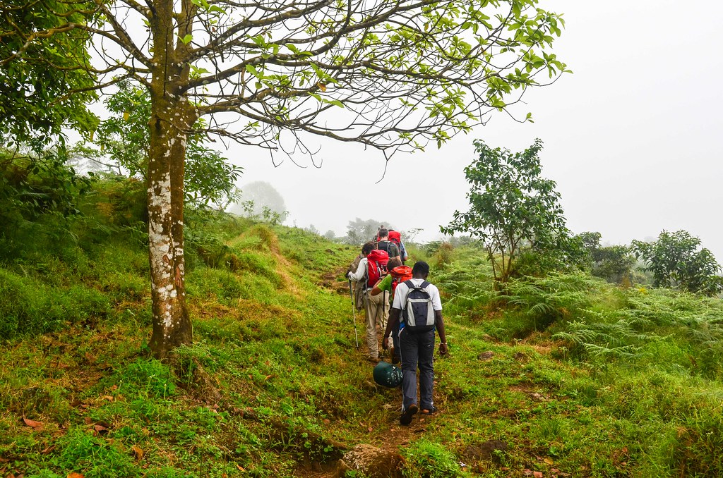
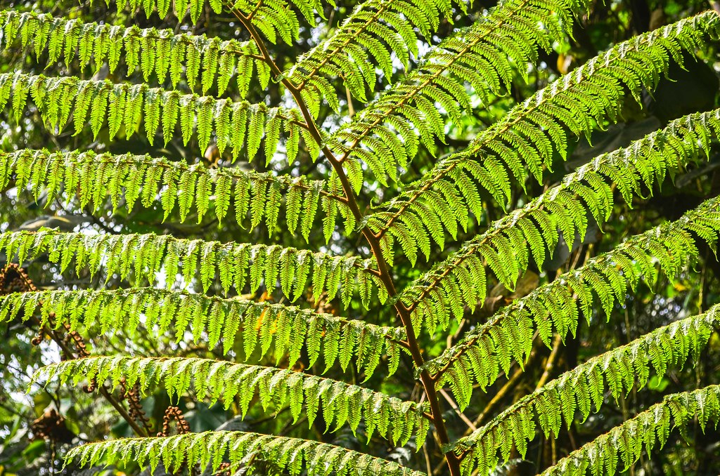
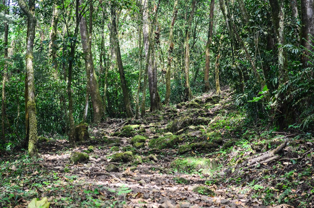
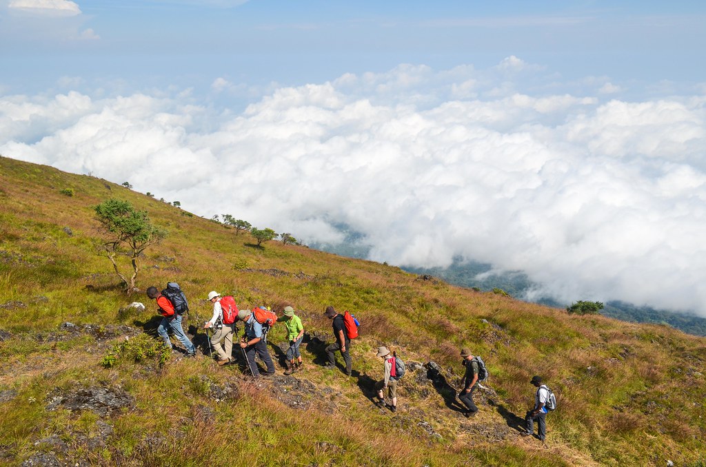
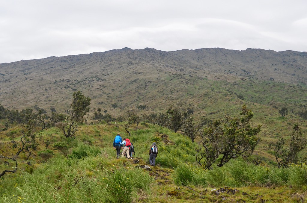
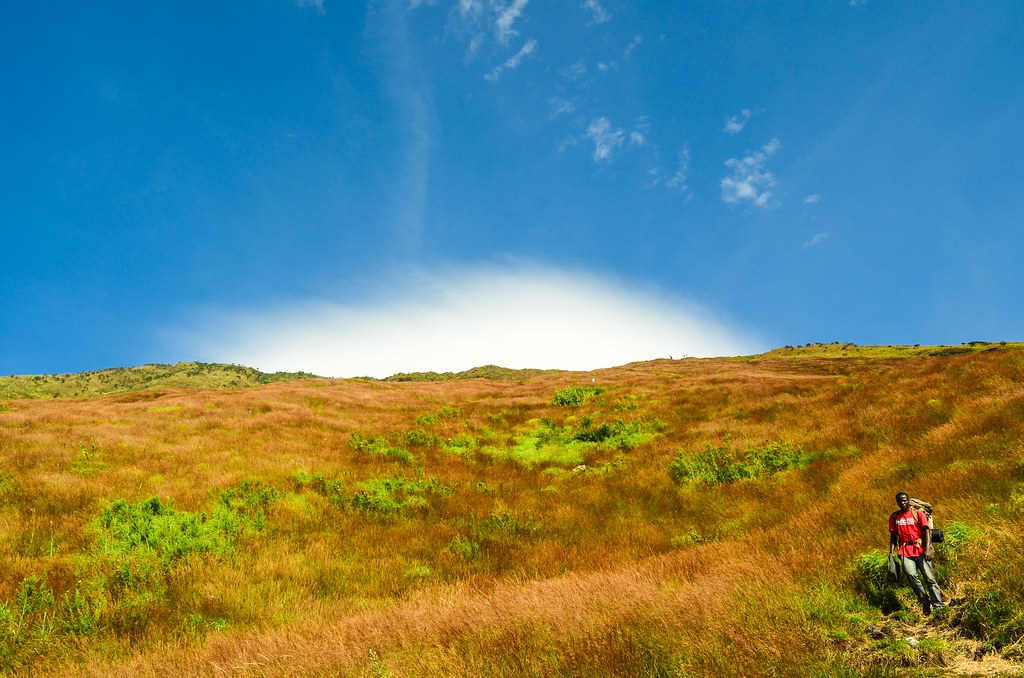
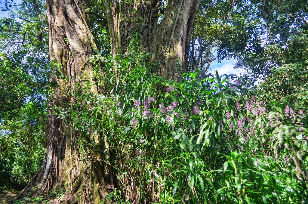
The forest makes up most of the lower slopes until 2000 m. The guide asks for breaks as he has a cramp. He is the compulsory guide, but he didn’t do any exercise for the past 6 months. Guide are locals and within the organization, they take turns, just like porters, to be called for the job, which pays more than their regular one (often farming).
Porters are fitter, but guides are paid more and are basically useless, as the path is obvious and they bring no additional information. They are called guides but are actually farmers who get the jackpot once in a while to bring tourists to the mountain top. I had the same bad luck with my compulsory guide on Kilimanjaro, who disappeared after 2 days to go back to his wife, and the assistant guide couldn’t breathe over 4000 m.
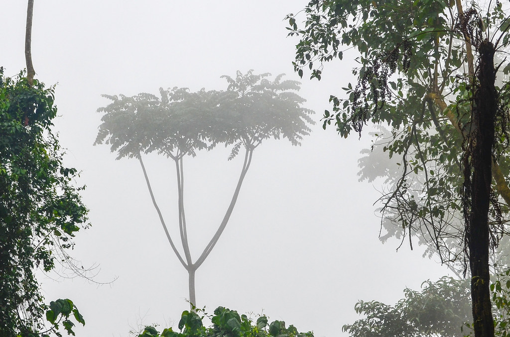

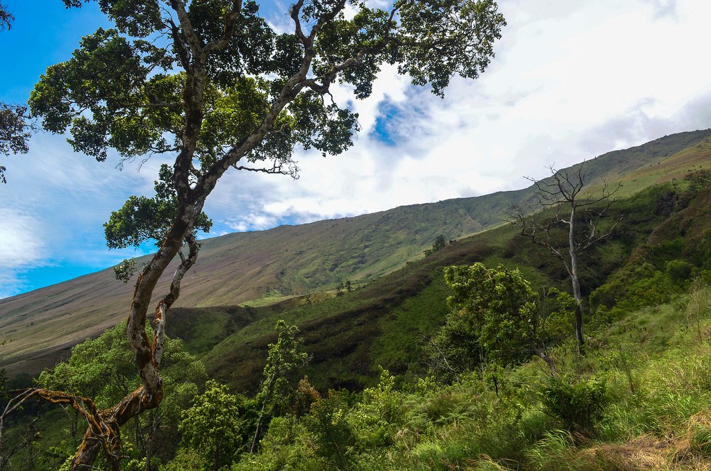
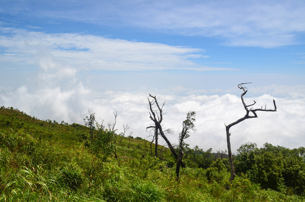
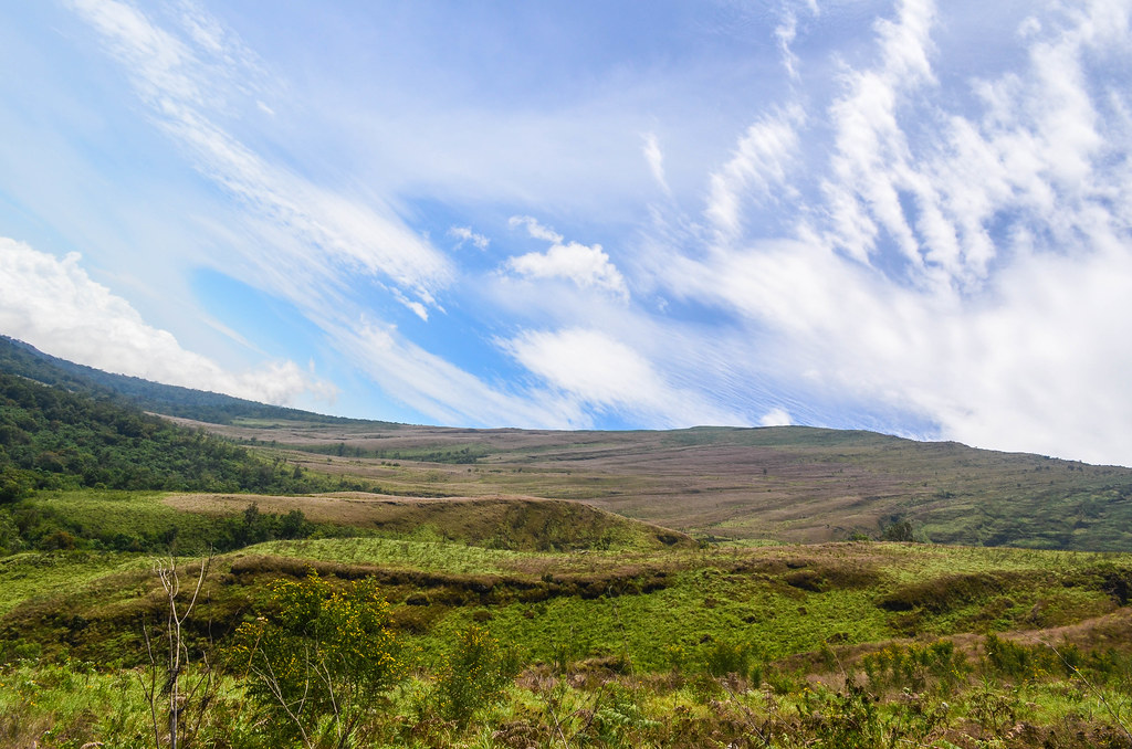
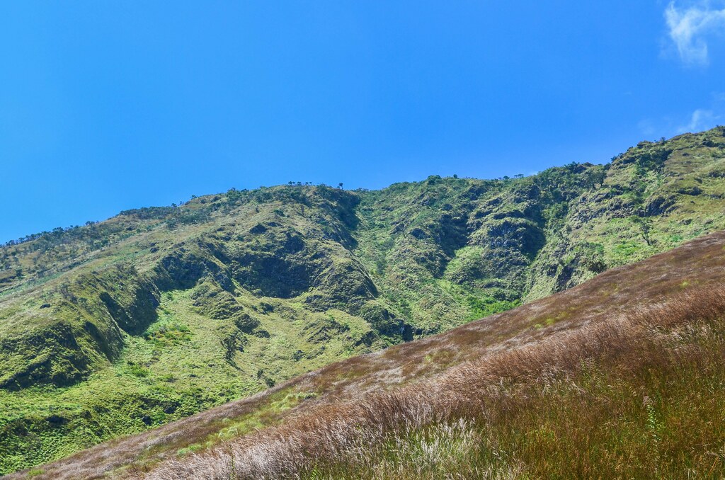
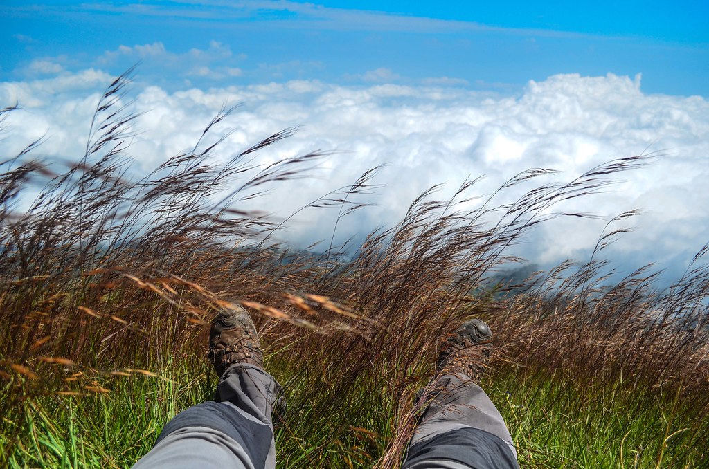
Being over 2000 m also means being above the clouds. I have never managed to see the mountain from Limbe as it was always surrounded by clouds. The rainy season is just over, so I guess it takes time to clear up completely.

")


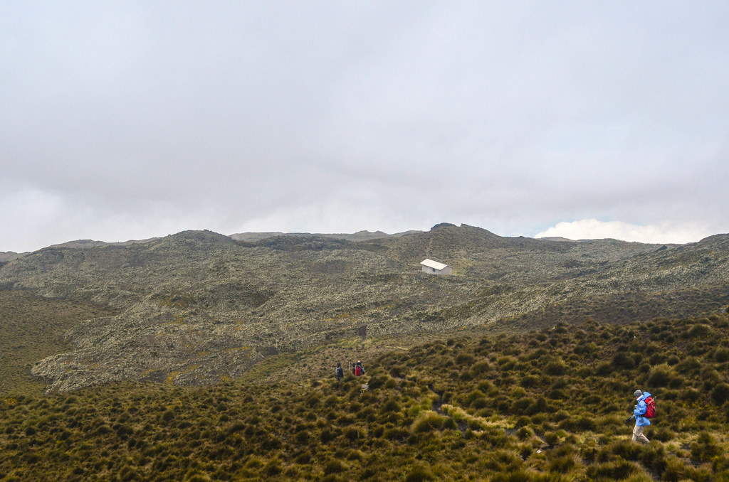
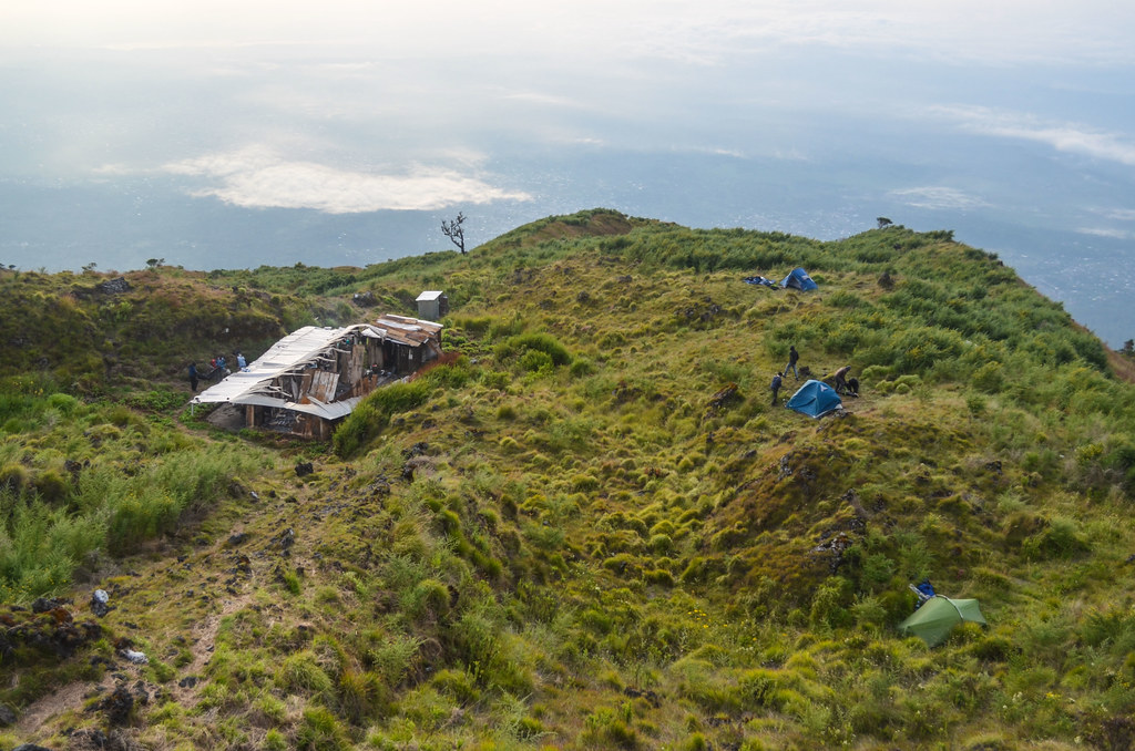
We reach the hut #2 at 2800 m for the night. I was told there are huts on the way, so I didn’t need to bring (well, on the back of the porter) my tent. I put it in the backpack at the last minute, thinking it would be useful in case the huts are crowded.


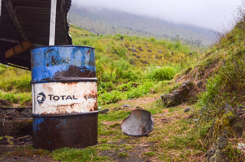
On the straightest route, there are 4 huts, but all in very bad condition, so the tent is actually compulsory. The huts are taken anyway by the guides and porters (we are 11 foreign visitors this day, so it makes some 15 additional Cameroonians). Except for the hut #2, which is burnt down. There is a tiny shelter where many porters are already piling up because it is relatively cold. The wind is strong and fresh. Porters who arrive must sleep outside, at 2800 m, and most of them have no tent, no sleeping bag, and they are making holes in the bushes to shelter from the wind.

They say the hut was burnt down very recently, and they say they don’t know if it is accidental or not. For the tourists, it makes no sense paying for seeing people coming up there and suffering in the cold, but it is how it works. Most locals have flip flops. They gather around the fires made from the wood collected around (it is strange for a national park, but it is also how it works) prepared for cooking.

In the evening, I face for the first time the Captain Haddock dilemma: the beard, inside or outside the jacket? inside or outside the sleeping bag?
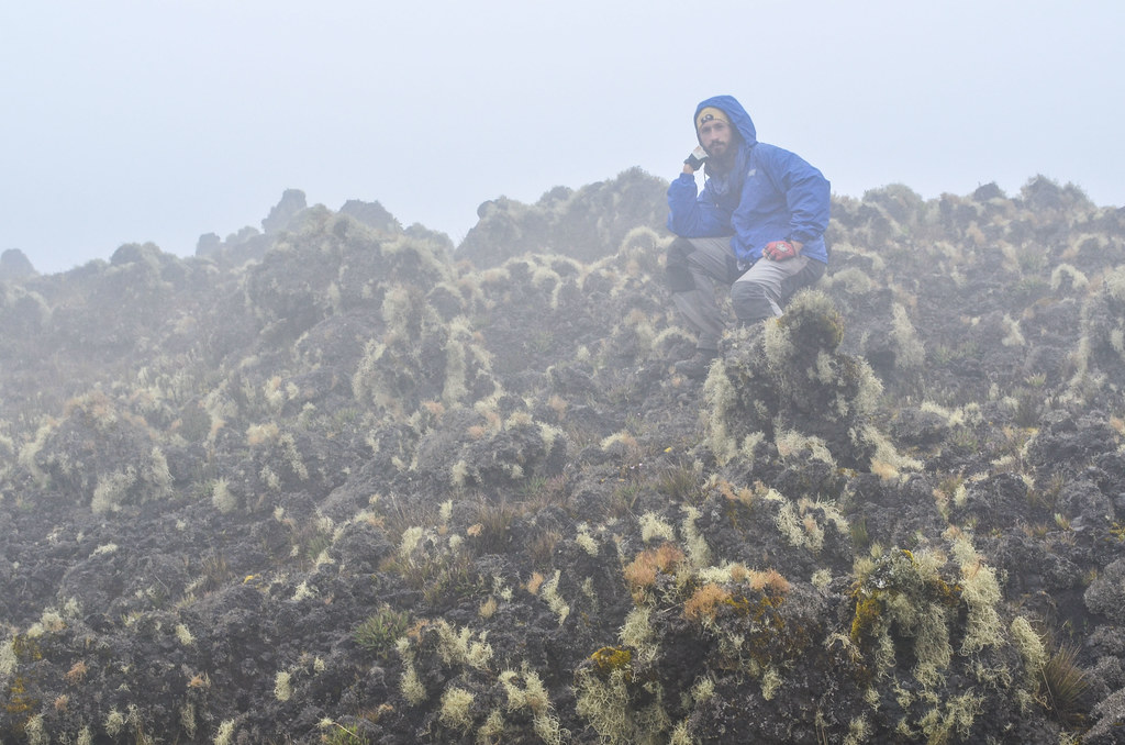
The rain wakes us up at 5 am. It is terrible for the guides and porters sleeping outside who had to seek refuge under burnt down metallic sheets.
The weather is quite bad and we cannot see the summit. It is wet, cold, and drizzling. All the locals agree to say that we cannot climb today. Of course, looking at their flip flops and pants with holes, they don’t want to and they will freeze up there.

I am very annoyed because for all visitors here, we are forced to pay to take with us those locals who are very uncomfortable in the mountain, who are not well equipped at all, and who have less physical condition than any of the visitors. And they are the ones saying “it is impossible to climb“.
My equipment is not better: my pants have holes, my Salomon trail shoes are destroyed, with the soles almost falling off, and my jacket is a 5 USD rain jacket “from the wheelbarrow” (the ambulant sellers) of Monrovia’s waterside market. I had bought it because it was raining hard in Sierra Leone / Liberia, and I had nothing against the weather, as the terrible heat of Senegal made me get rid of all my warm clothes used to cross the Alps, Pyrénées and Atlas in the winter. I had never used this rain jacket: when it rained, I just sheltered, or got wet: as the African rain is warm, it is not so much of a problem getting drenched. I’m just wet, and I dry with the wind while cycling.
My equipment is not better but I won’t go down without reaching the summit. We finally agree to climb up to as far as we can go and as far as the weather allows. The drizzle stopped, and the climb is fast. The locals were all saying “you need 5 hours to reach the top, you can’t sleep at hut #3, …” but all of it was wrong, they just didn’t want to go. We reach the summit and return to hut #2 within 4 h 30 min.


However, the wind at the top is very strong and the visibility barely exceeds 10 meters. The sign is tagged and reads 4095 m but my GPS shows 4040 m. We quickly take pictures and hike down.


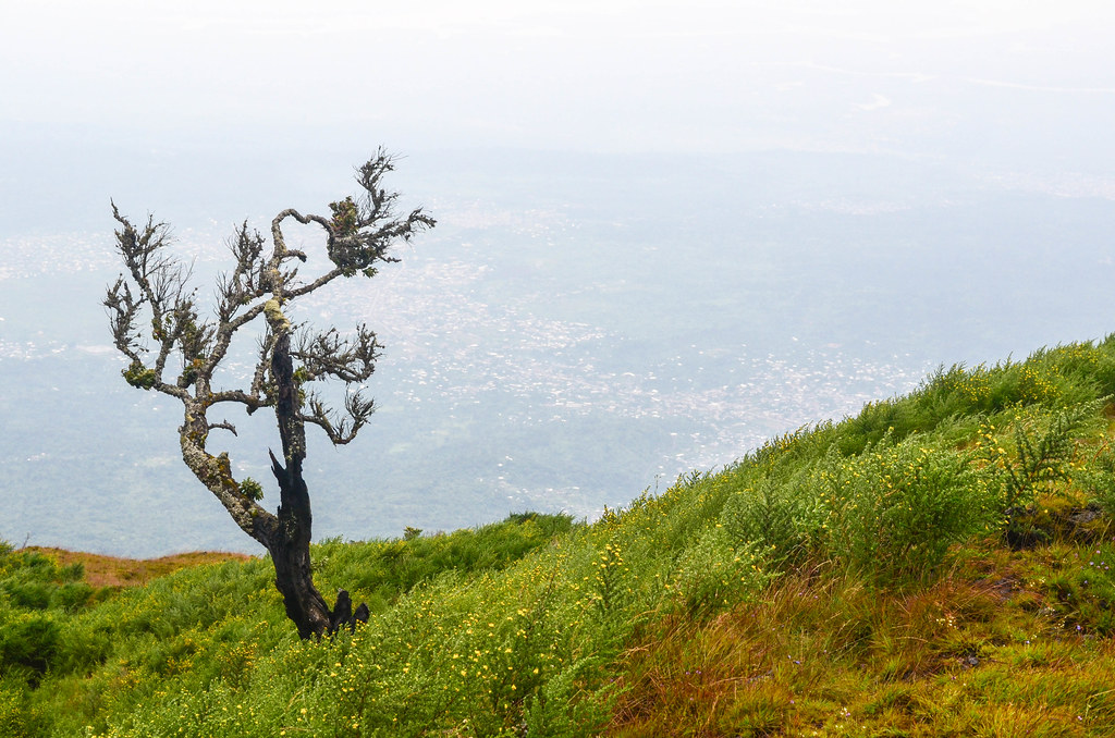
The original schedule was to hike down via Mann Spring, the most scenic route. Because of the rain and the local people not wanting to sleep at hut #3 at 3750 m, we go back via the same route. From the top, it should be possible with a clear sky to see Nigeria and even Malabo on the island of Equatorial Guinea, about 100 km off the coast of Limbe.
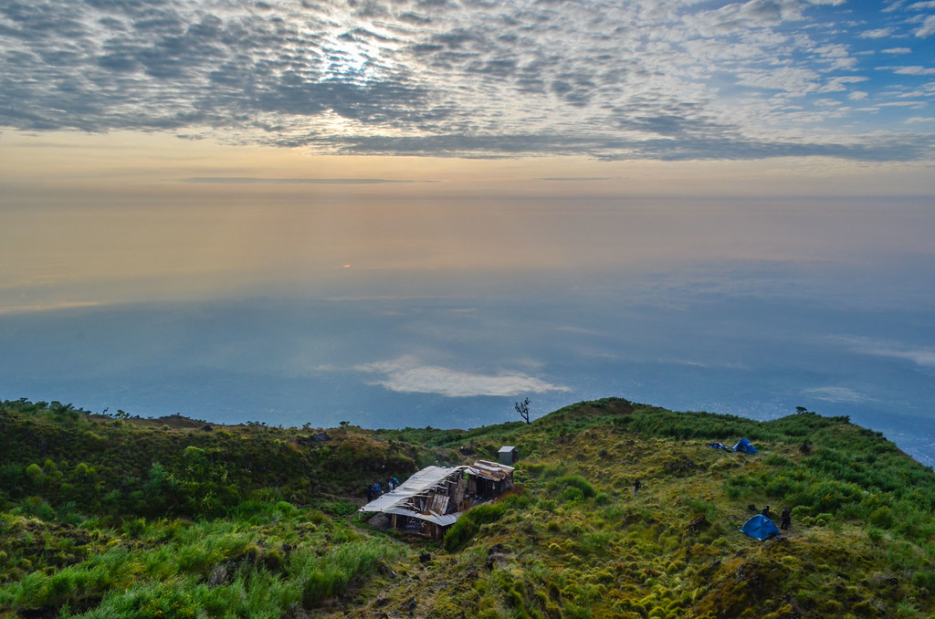
We camp another night at the hut #2, from where we can see the lights of Buea, Limbe and Tiko, before walking down back to the base. Overall, the total ascent would take 9 hours and the descent 4 h 30 min on the race route, the most direct.
Without going to Mann Spring, I have not seen the lava flows from 1999 when the eruption cut the coastal highway and almost reached the sea. The last eruption of this active volcano happened in 2012.

When we reach Buea back, the weather is perfectly clear, so I got the remnants of the rainy season just at the wrong time. The Ecotourism organization, who charges tourists to send them with useless guides in flip flops, says it usually doesn’t rain so the locals don’t need any special gear. Well, it is very wrongly managed and that makes a lot of money vanishing somewhere.


After the steep descent, almost like staircase, my legs are very stiff and I can’t walk properly. But I am eager to leave this place, so I pick up my bike and start the downhill from Buea.
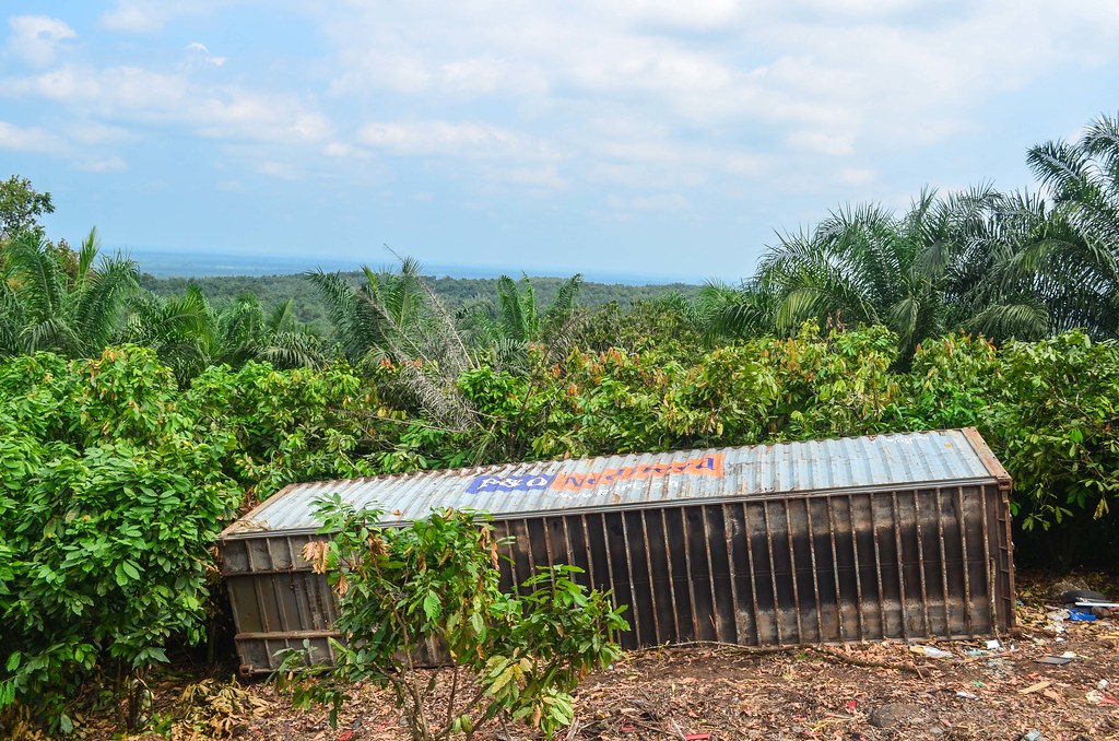
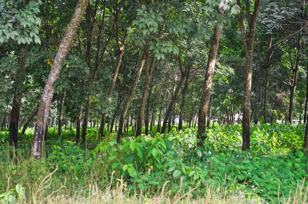
I receive many “White man!” and some “Oyihbo!“, the Yoruba equivalent. I pass through the CDC plantations.

CDC is the first employer of the country and one of the major exporters. The organization started as independent plantations initiated by the Germans, later on consolidated by the British. There are fields of hevea, sugarcane, palm trees, bananas, as far as the eye can see.

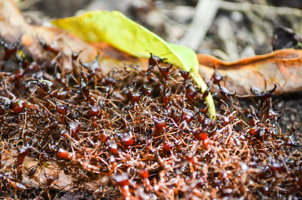
Among the rather rough welcome from the locals, during my lunch of fufu, I am invited by the neighbors to drink palm wine. It is Sunday, but the church time is over, so everybody changed their clothes for casual ones and spend the day drinking. I finally get to try snails, but small ones. They are grilled on a stick with pepper, making them not as tasty as with garlic, but it’s still good. They nickname it “Congo meat”.

In other countries, Telecom operators put up signs to announce the next cities. In Cameroon, the beer warns when it’s 33 km to the next one.

I reach Kumba for the night. Like in other towns, it feels like there is a party every evening. In the center, the music is all over the streets. The stalls grill meat and fish and men and women gather to drink beers.


very beautiful. A big thanks again.