When leaving Ali, Dakhla, and the good times behind, I make a detour through the south of the city and the bike shops. I have now 3 “cuts” on the side of my back tire. The Schwalbe Marathon Mondial tire has made close to 10’000 brave kilometers without a single puncture, and now suddenly, within less than 10 days, the thread on one side, not the rubber, starts to get loose. One shopkeeper tells me I have nothing to fear, while Ali’s brother recommends to take a spare. I don’t really want to carry a rigid spare tire, it’s annoying, but after all I’m going into hundreds kilometers more of desert, and being stuck there would be a thousand times more annoying. There is a tire shop around the corner and I get a Chinese one for 60 dirhams. It actually fits well just behind the saddle and resting over the 2 panniers.

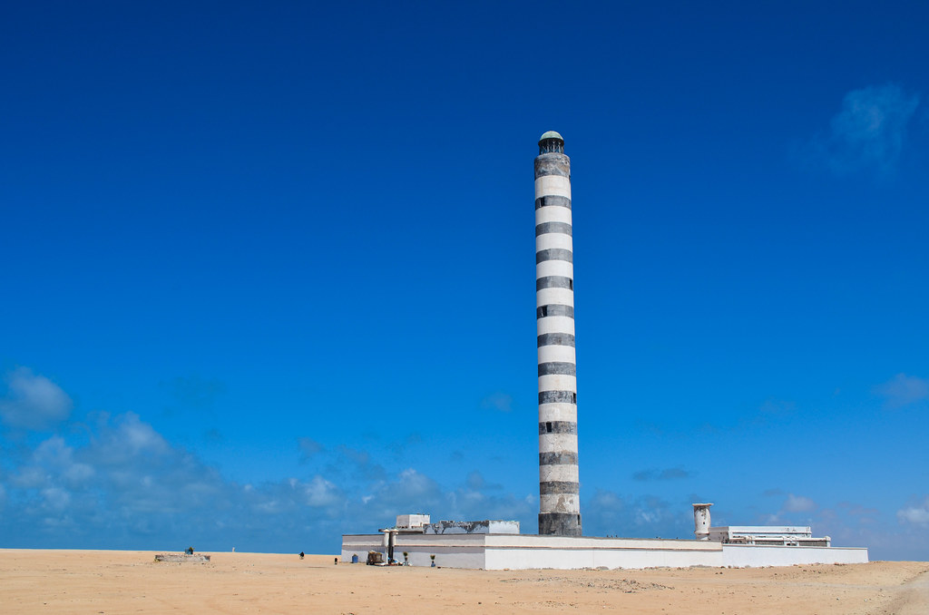
I bump into Aajibe from Ntirift, the village 60 km before Dakhla, and after a compulsory coffee, I can start my day against the wind. I have to get back to the “mainland”, exiting the Dakhla peninsula on the same 40 kilometers I entered it. I go around the city to pass by the lighthouse (and kilometers of trash fields) and getting back to the main road is not as hard as expected, the wind being gentle against me. The hardest things are my calves, not digesting yet the football game on the sand beach two days ago.


I make a break at the Quarante station to celebrate my 7000 kilometers with Vache-qui-rit sandwiches, the only “cheese” I know that dares selling a cheese-flavored version, and continue on the main Trans-Sahara road, south bound.

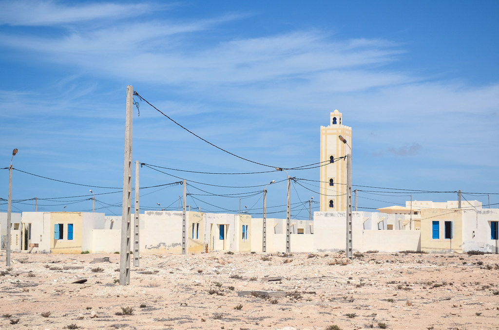
After 40 km, I arrive as expected (flat roads and constant wind allow me the luxury to take breaks and to predict my location at the end of the day) at the village of El Argoub at sunset time. El Argoub is exactly facing Dakhla across the bay, some 10 km away as the crow flies, but 80 km by the road. I could see the village from more than 15 km away. What is deceiving in the flat desert is that towns are visible from very far ahead. More than 10 km before in the case of a village (the minaret or the water tower) up to 25 km for a decent town. And my stomach doesn’t understand yet that there could be an hour of cycling between seeing an inhabited place and properly reaching the food.
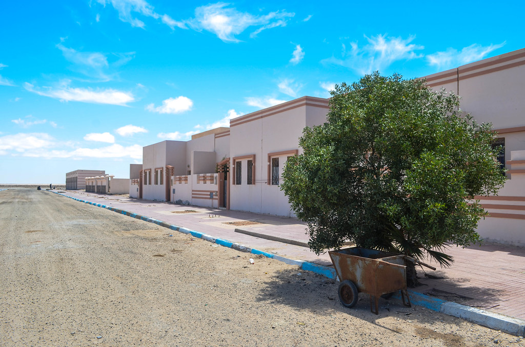
The sun just set over Dakhla and I enter the village while many people wander around. That’s a lot of people for a village of the desert. It’s pointless to try to hide and camp as I’d be soon discovered, and invited over for a tea, or asked my passport details, most probably both. Instead, I just ask the people at the entrance post, a military and a gendarme, where can I sleep. And it takes them 1 minute to put me up with Mohammed a shopkeeper/butcher/restaurant who has a room behind the shop where I can sleep and stay safe.

Then I learn that everyone in town is from the military. El Argoub is an army town, so those hundreds people walking around without uniforms were soldiers … not obvious, but after all, yes, it should be obvious. Apart from camels, only the military like the desert. The town even catches the 3G and at night, Dakhla looks huge with much light.
The room I am sleeping in is in fact the dining room for the restaurant guests. Just after I bury myself into my sleeping bag, guests come and eat loud just two meters away. I won’t sleep much if this lasts the whole night … and this is one of the few eating stops in the area. But luckily the shop/restaurant closes at night, just like the Mauritania/Morocco border, and I have a quiet night.
In the morning, I breakfast Argan oil, from the eponymous tree that grows only in Morocco and Algeria. It is often sold as body oil and cream, but for me the edible oil is much more relevant. Ali gave me a small bottle of it and it tastes a bit like chestnuts. The water here is not good for drinking, so I must go for bottled one. This is the first time in all Morocco. Problems with water started only in Dakhla, where the taps are dry from evening to morning. Sometimes drinking water is available from barrels coming from Tan-Tan, 850 km north.
On the road, after I pass Portorico, my first interesting sight comes after 20 kilometers, and it’s the sign for the Tropic of Cancer, 23°26” N. So I went already more than 20 degrees south since Switzerland (but there are 80 degrees between Zürich and Cape Town …). For information, this angle is the angle between the Earth’s equatorial plane and its orbit plane, also the angle of the tilted Earth’s rotation axis. Summer will come soon and I can’t stop the sun from turning harsher and harsher.


The wind comes from the north west while I go south west, so I am not as fast as usual. I pass through the Commune rurale of Imlili, another brand new abandoned village. One gendarme at the station nearby tells me it was built for the fishermen, but those prefer to stay in their shacks right by the beach with their boats and motors … an explanation to put against the one of a local hitchhiker, saying that there is the wife of a Spanish general (?) in there.


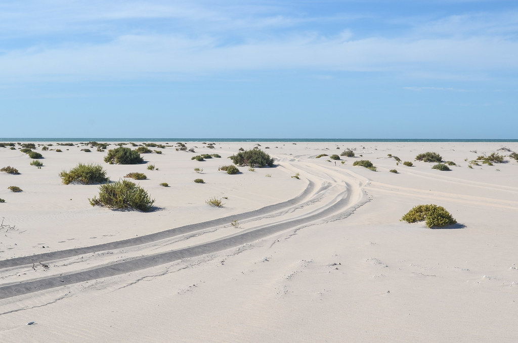
The good wind in my back comes back in the afternoon, as I pass an area with more sand than usual. There are even beautiful white dunes. This is around the Cintra bay.
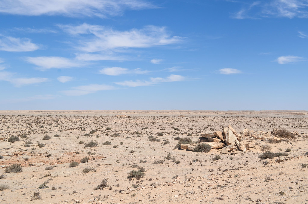

The day goes by quickly with nothing much apart from the stones, the sand and the ocean. I am looking forward to finally camp in the wild of the Sahara. These days, the gendarmerie is not monitoring every of my moves and I have the freedom to sleep where I want. And after 140 km, there are small dunes close by on my left. The first one I reach, after some fully-loaded-bike-pushing-in-the-sand, one activity that really makes you feel useless, has a crescent shape, making a perfect shelter against the strong wind.


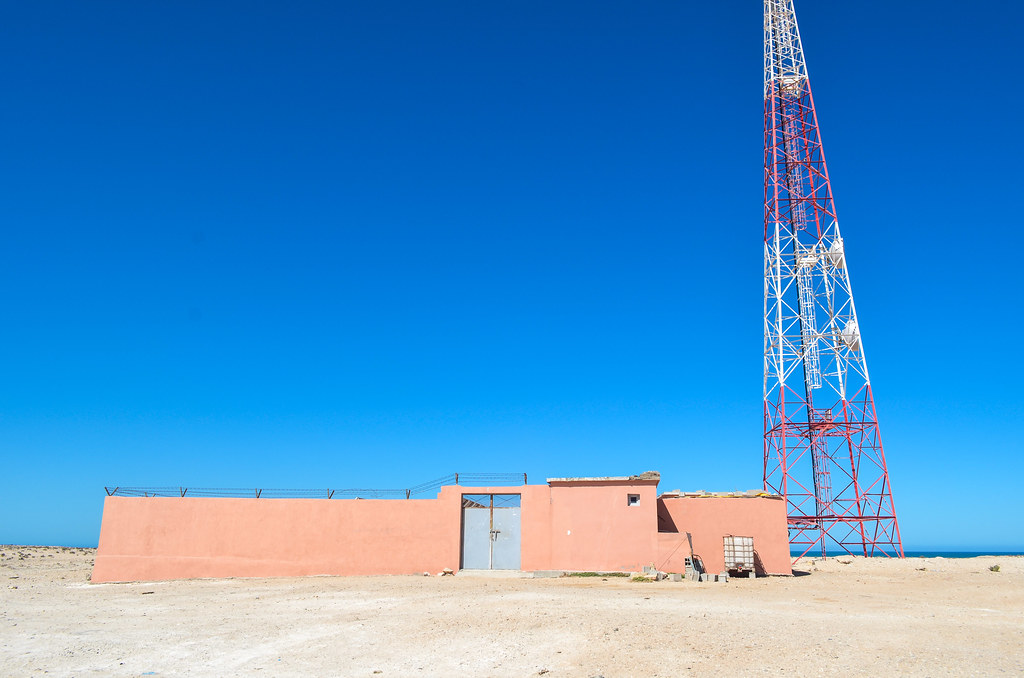
I put up my tent in the last hour of daylight available, at the heart of the crescent, where the wind is in fact not stopped at all. And worse, it has no direction. After some technical efforts I manage to put up only half of it, just to see it blown away. At that point, I have to decide very quickly what to do: to stay or to go. Since I already foresee a very bad and scary night in a Vaude tent not very windproof, I change my mind and choose to run away from this windy spot. I have nowhere else to go to shelter from the wind, but to ask for asylum at the cell towers by the road.
I completely miss the sunset over the ocean and use the last minutes of the red sky to push the bike back to the road and reach the cell towers. The first one is near but is small: the antenna has a tight wall around and probably no guard, since it’s locked from outside. The second one is some kilometers backwards, i.e. against the wind. It is night and not really a suitable place to cycle, but the panic unlocks a reserve energy to pull myself somehow against this ubiquitous force. The cell tower is tall and visible from far away, nevertheless taking ages to reach. Maybe 3 or 5 kilometers, but feeling much more. When I am finally there, sweating, seeing light inside, I knock on the door several times. No answer several times, but before I put up my tent behind the long and high concrete wall, one of the ugliest location to sleep in the beautiful desert (but offering a much better protection than a dune) the door opens. The two Sahrawi brothers working as guards, this time not for G4S but for Brinks, let me go inside not only to put up my tent in a wind-free place, but also to sleep inside on the mattresses of their wide dining room.
We watch minor football games like the UK Division 1 and the CAN for young national teams, a bit of France 24 so I can get my quota of international bad news and scandals among the French politics, and pictures of gazelle hunting deep in the Sahara. One more time, one of his friends, owning a Spanish passport, explains me he prefers the life in the Sahara to the current economic situation in Spain. With the strong wind every day and night in the desert offering very few natural shelters, I don’t see these cell towers every 10 or 20 km as ugly poles anymore, but as necessary emergency asylum islands for poor cyclists.

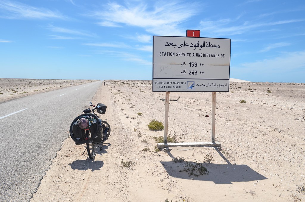
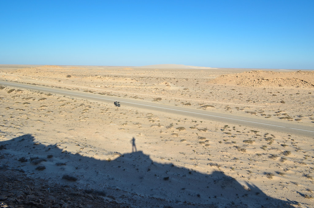
The wind in the morning is stronger than ever, and very loud. It comes slightly from the right. On the road, there is very little traffic. It has been decreasing since Tan-Tan. I would say a dozen cars per hour is a correct average. It seems ridiculous when I realize this is the only road taking all the traffic between West Africa and Europe. So it means the trucks of food don’t go further than Dakhla. At the border, Morocco also prevents the entry to Africans unable to show at least 500 € of pocket money, so it doesn’t make many visitors.
While the beginning of the Sahara was just perfect temperature-wise, it is now getting hotter and hotter and I would like to find shade when I take a break. There are only road signs to provide a shade, but it’s not enough for me.

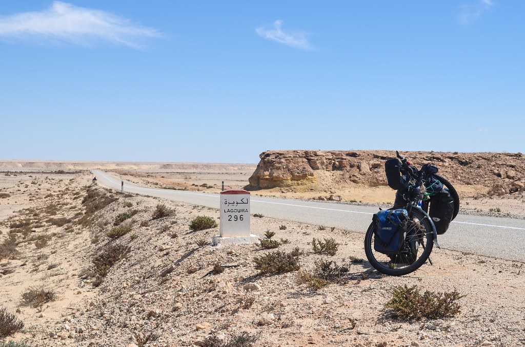
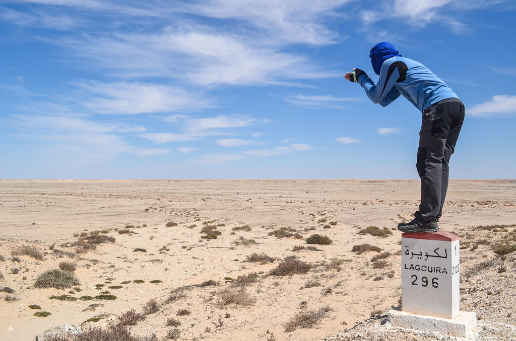
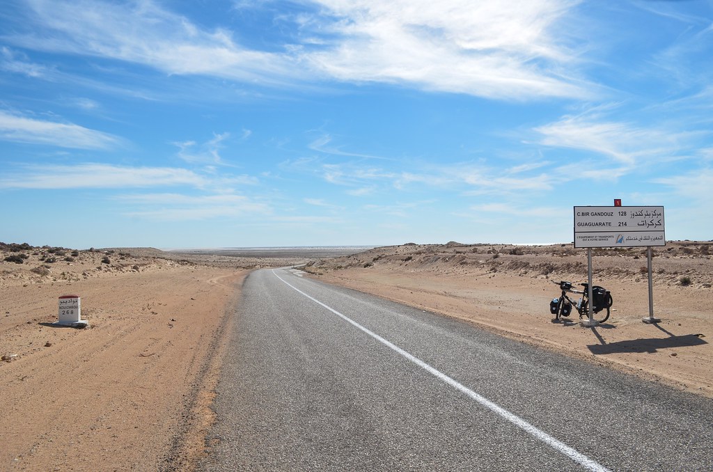
I reach the centre Bir Gandouz after 80 km, ending a stretch of 160 km without any shop or café, the longest of all with the one from Boujdour. It has 2 hotels/restaurants and many people stopping. It is the last stop before the border to Mauritania and the famous No Man’s Land separating the two countries. I get a fish and fries before taking the road again. I won’t be able to make the 85 km until the end of Western Sahara, but the strong wind powering me will get me close, so I have plenty of time for the crossing tomorrow.
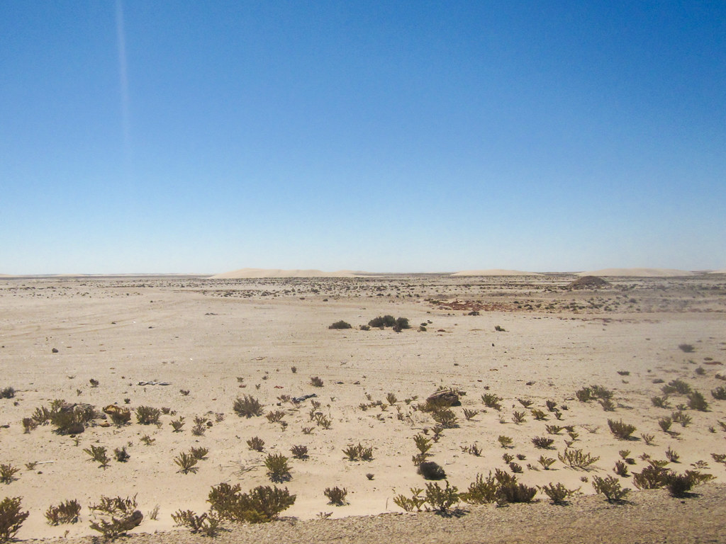

The landscape changes completely, with many rock formations around. Those little hills now prevent me to see the road more than 1 km ahead. It is very wild and beautiful.

When I see a sign reading “mine clearance in progress” just by the road, I know that finding a campspot won’t be fun. There are a lot of those signs, very rusty and barely readable. I guess there’s no more risk, but in case they forgot one, I don’t want to find it. The border between Morocco-occupied Sahara and the rest of Western Sahara or Mauritania has still way more land mines than cherry tomato fields.

I am now cycling my last hour of daylight and I really hope to see a structure or something inhabited to camp in peace. There’s really nothing around, but I am relieved when I spot an antenna. I reach it just before sunset. It is not a usual cell tower. It is occupied by 2 guards of the military and it’s actually a communication post for the Marine Royale. They don’t want me to put my tent just behind their wall so I go around look for somewhere wind-sheltered. The guards confirm that the area around the road is indeed cleared of landmines. The wind is strong and my spot is not much better than anywhere else, but the sunset is very nice. The constant wind made me forget how is silence like. But the tiredness and earplugs make me sleep through the noise and my tent fly flapping.


I just found your website yesterday while looking for information about the Morocco – Mauritania Border Crossing and the infamous No Man’s Land.
I plan to do a similar trip from London to Lagos (Nigeria), on 2 wheels…………with an engine 🙂
I have nothing but respect for cyclists that take in massive challenges like this!!
Thanks for sharing your experience!
Regards,
Ayo
This no man’s land is disappointing compared to its reputation … but there are enough infamous roads somewhere else in West Africa 🙂
Thanks for your message and good luck with the prep!