Late December, I can now count the days and kilometers down to my arrival to the edge of Europe.
I wake up in my cave after a rest at the Alhama de Granada hot springs and a double dinner.


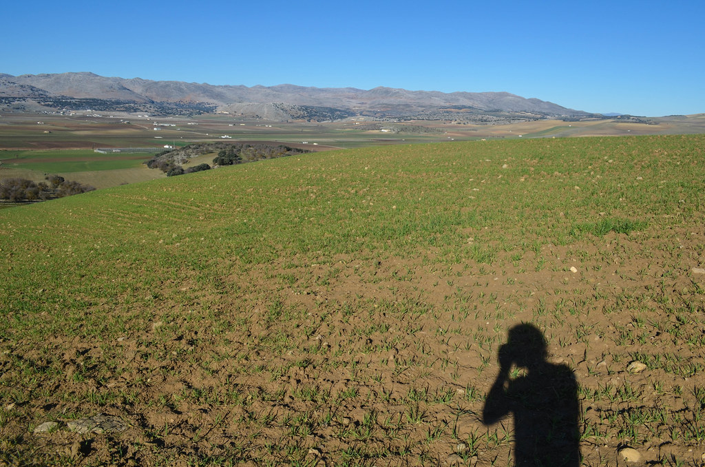
The night was colder than the previous ones, and it seems winter is back. I have frost on my saddle.

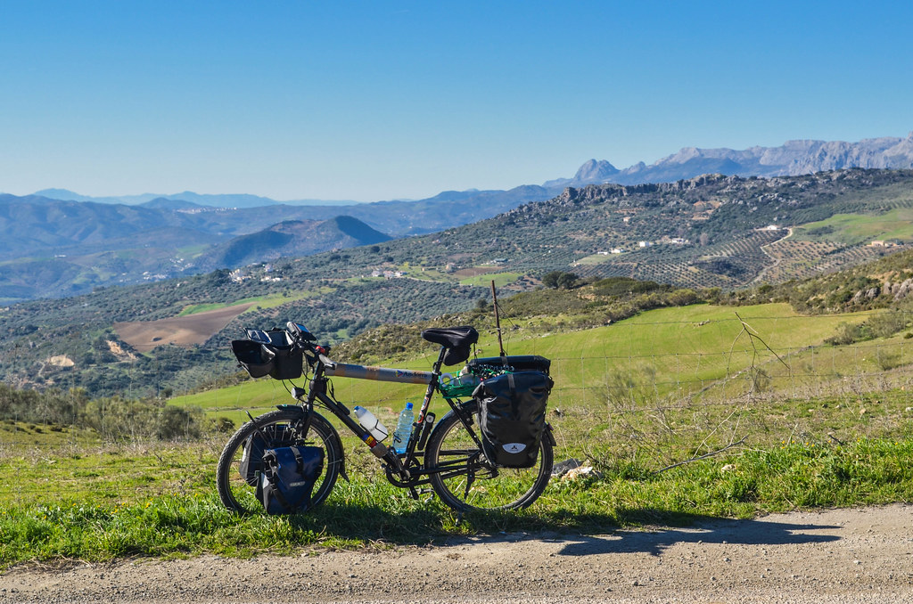
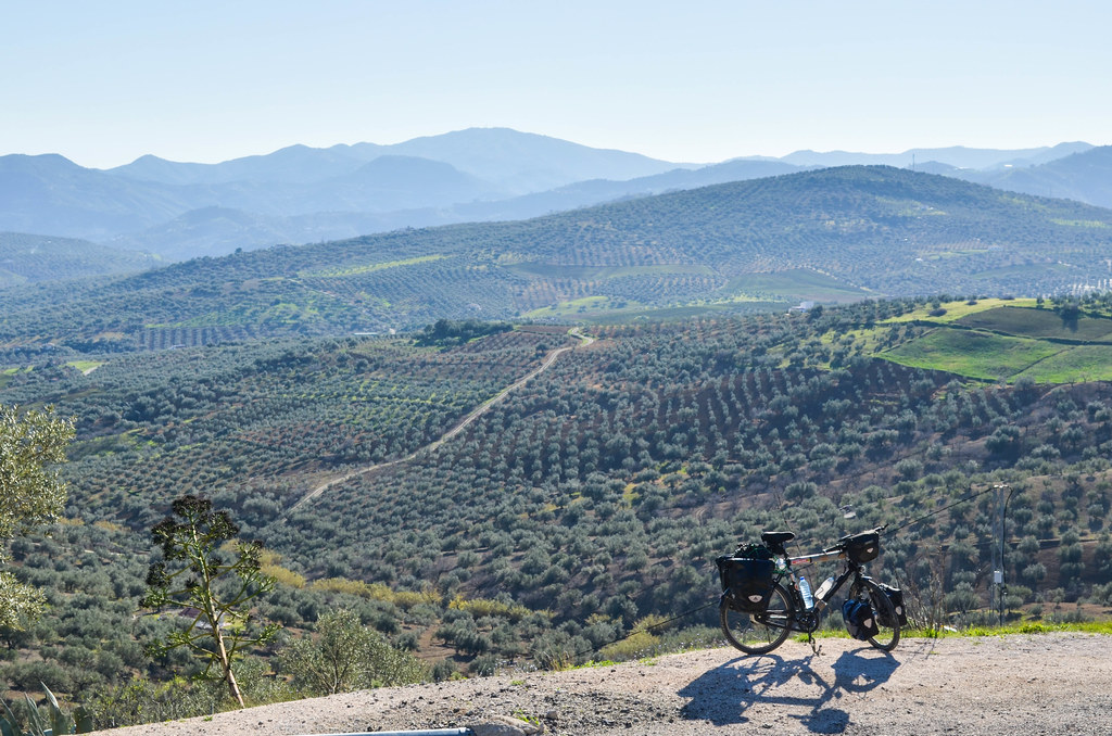
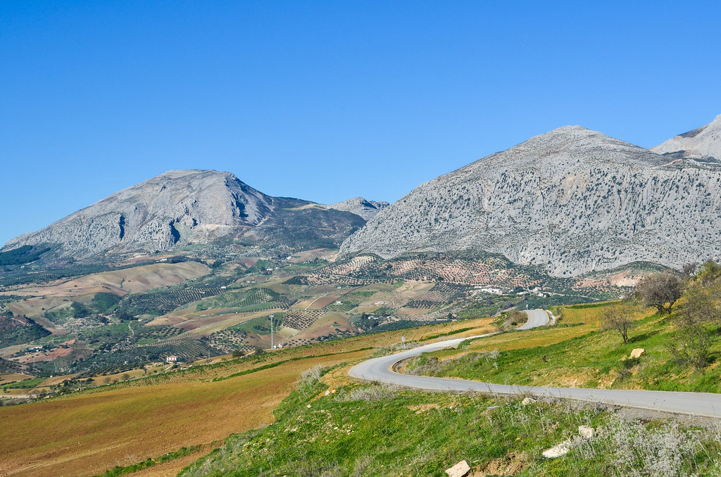
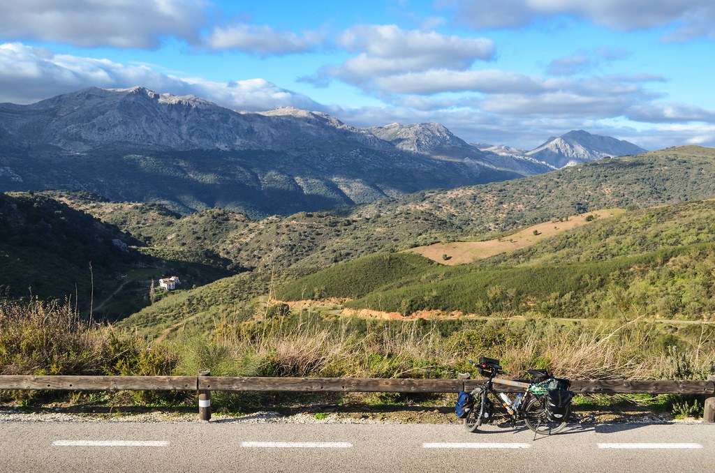
The day is about going west, until Gibraltar. I leave Granada province for Malaga province, the scenery is very nice as usual.

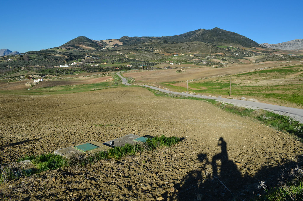
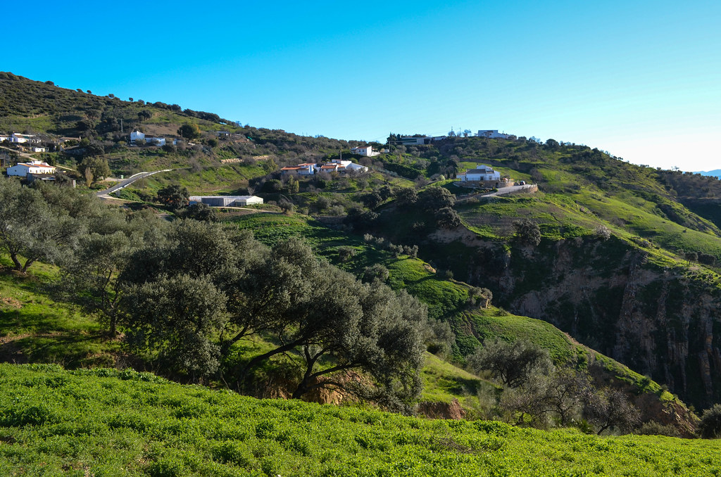
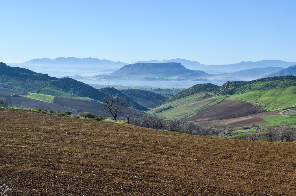
There is no flat area in this region. At each viewpoint, I have a panoramic view on more passes and hills to come. Sometimes I see the sea as well. The villages and fields are occupying even the steepest slopes, and I make my way mostly through olive fields, through Riogordo, Colmenar, until Villanueva de la Concepcion. There I camp facing the national park of Antequera.


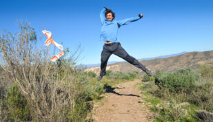
Being in the south makes longer days, but also tricky mornings. When I get out of my tent after my usual little sleep beyond the alarm, it is still night. Even darker than during the night, when the full moon was shining, allowing me to mount my tent without headlamp. But at 8 am in the morning, with neither sun nor moon, I have to get back inside my warm sleeping bag. My tent has frost snowflakes outside and inside, my bike looks older with its white cover too. Winter is back, and it’s kind of surprising as my previous days were over 20°C and with pleasant nights.
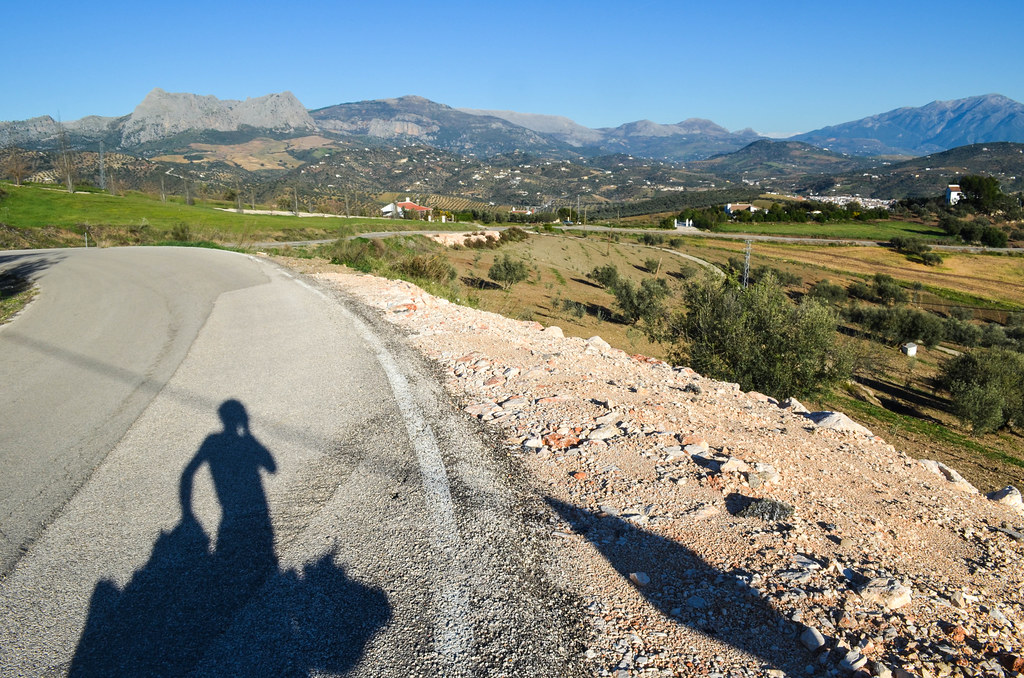
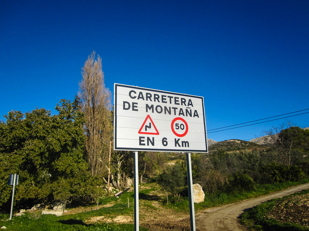
Finally the sun rises and the Sierra de Antequera, carefully chosen to be just in front of me, appears in red. Time to pack, to wear hat and gloves and take the steep descent until Villanueva de la Concepcion. The road signs have been bad recently, in some cases nonexistent, where only the highways and main cities are indicated. On the other hand, it serves me in being tranquillo on secondary roads.

My legs are still sore and it’s another day of never-flat roads. The sun quickly warms me completely, I change to short sleeves, and I can do my daily up-and-downs (cf explicit road profiles) in the small villages, until Ronda, and from there, straight south to Gibraltar.
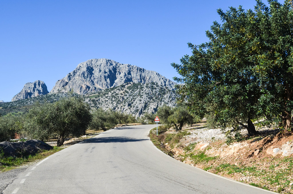
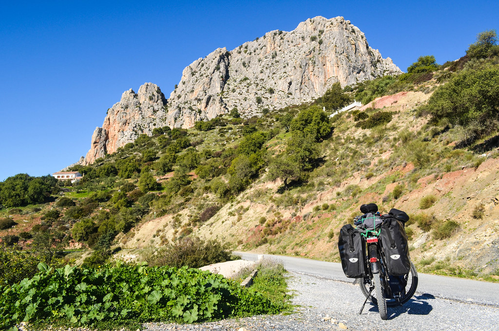
The mountain ranges of the region are all impressive, having huge walls, and at many times I have seen rock-climbers on them.
In La Joya, I take a secret shortcut off the main road. Secret, because indicated nowhere except on Google Maps. It’s a paved road, probably in permanent renovation, taking me until Valle de Abdalajis. All the names of the region have an arabic origin and the villages have, at least, a center of moorish design. There are good descends but I have to moderate my speed, as huge potholes like to hide in the shadow of the trees and it would be not forgiving if I spot them after the last moment.


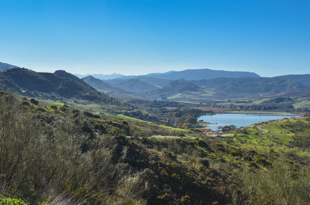
I suddenly face El Chorro from the top of my small road. I see a lot of concrete, and it makes me think that after all those days in the hills and mountains, I have not seen yet a dam or a power plant. Had it be in Switzerland or France, I would have seen many dams already. In El Chorro, this is the first one I see in a long time.

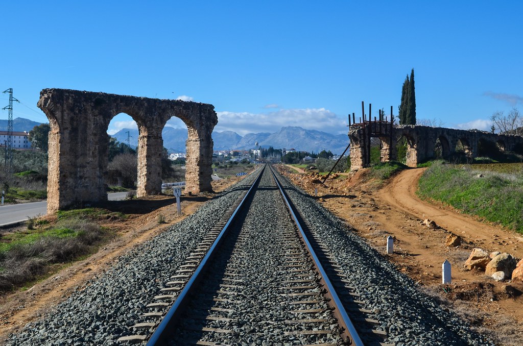
Three rivers have been turned into reservoirs for this power station aimed at providing electricity to Malaga, the capital of the eponymous province, only 30 or 40 kilometers south, by the coast.

There is a gorge there, very high and narrow, and a small bridge. This bridge was a service bridge built for for El Chorro Water Power Station, completed in 1905, hanging 100 m above ground. It is written that no fatality was recorded during the construction, and that the bridge was named the Caminito del Rey once the king walked on it.

The three rivers flowing through Malaga also pass through this tiny opening through the rocks, Los Gaitanes gorge. In the event of floods, a huge spurt (chorro) was formed here and was dangerous for the plantations and inhabitants in the vicinity It happens no more with the dams, and allow me to take the road facing el Desfiladero de los Gaitanes until the reservoirs a bit further above.


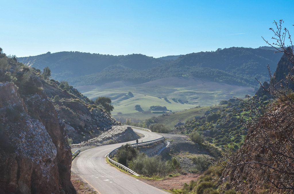
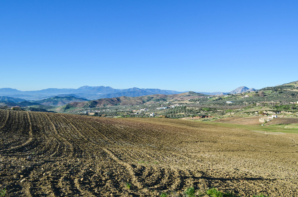
The road to Ronda is still long and I will not make it today. I cycle further, ignoring the only signs directing to highways and national roads, until Ardales and El Burgo. There is much less habitations in this region, and it feels lonely on the deserted roads of bad quality.

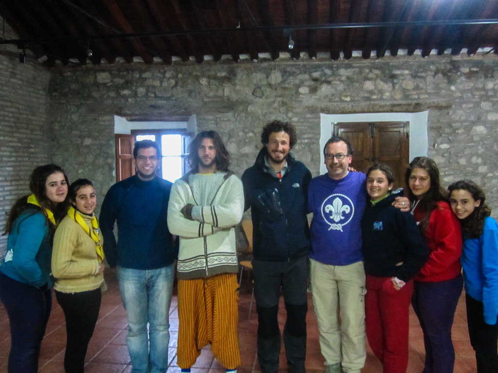
It seems that the hilly road from El Burgo to Ronda is another 25 km of loneliness, and wanting to recharge my (laptop) battery, I decide to stop here. There is no camping, but I am put with the boy scouts inside the town for the night. They came from near Jezez Town, and are celebrating St Innocent tonight. We have a good evening, ignoring the freezing cold outside.
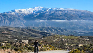
In the morning, I leave Carlos, Jesus and the the boy scouts and venture in the cold, equipped as I was in the Alps and the Pyrénées. Yet the Andalusian sun is warming me up quickly, helped by the road which is taking me almost up to 1200 m.
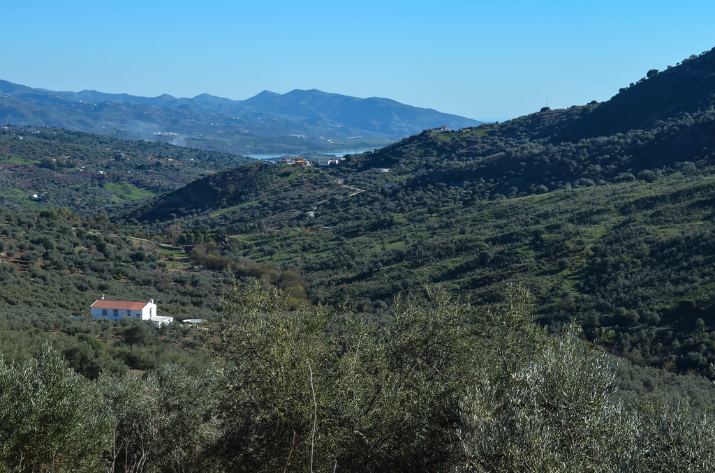
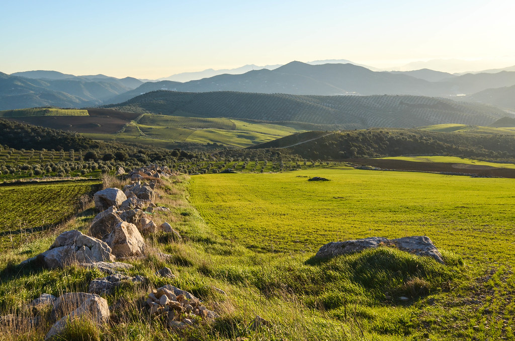
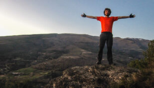
The scenery is absolutely beautiful as usual, and I make a stop at a mirador that has a view over El Burgo and the Sierra de las Nieves. There is a story here about the last of the mountain bandits active in this region of secret roads and passes.


My legs are still offline but I reach the pass of el Puerto del Viento at 1190 m that separates El Burgo from the valley of Ronda. This is an old town that I wanted to pass through, and this is actually compulsory for one who wants to avoid the coast.

The last 20 km until Ronda are purely downhill, I see there many cyclists (who don’t seem to descend onto El Burgo through).


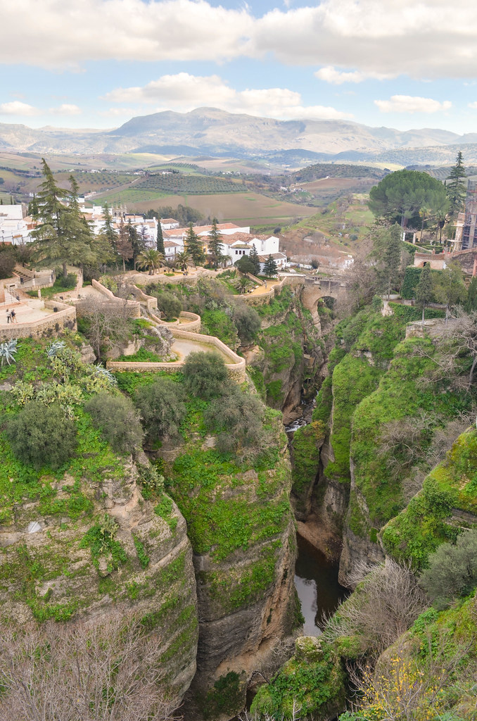
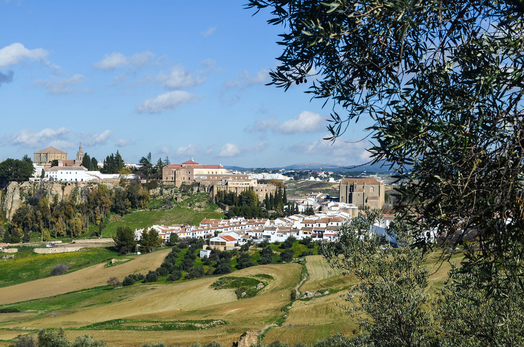
The attraction of Ronda is a very tall bridge linking two parts of the town, each on their side of a canyon. But the most striking feature for me is the presence of tourists. Ronda is a touristy town, more than I expected, and switching from a week riding on lonely roads to a place decorated with signs in all languages is a shock.
Some tourists take a picture with a horse for a euro, one can buy a stamp to a man-assisted machine, … the landscape attacked with Canons and Nikons is not even special. This makes me realize how well I was on deserted roads earlier (where a picture of a horse is free), and how places supposed to be “worth a trip” accessible by trains and buses are far less interesting than a good day of exploration.

The special bridge, el Puente Nuevo, is very impressive but too tall to be well seen (and photographed) from the city. It must be much better to walk down to the bottom. There is a path descending there with few people but I am not leaving my bike for it and continue away from Ronda, preferring a quiet beautiful world to a mass of tourists.
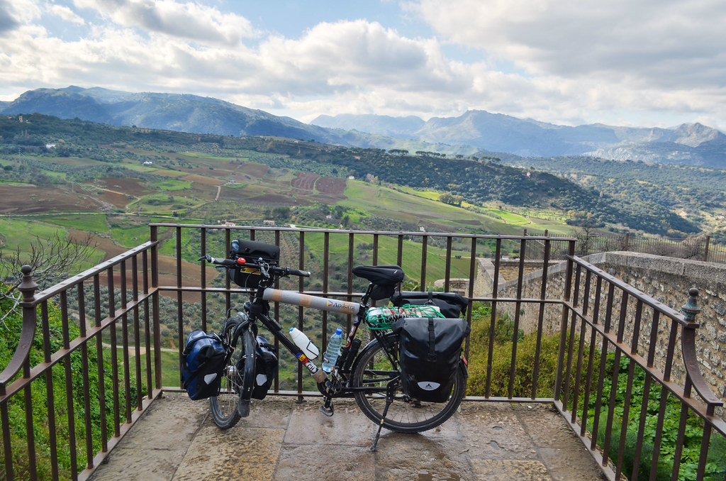
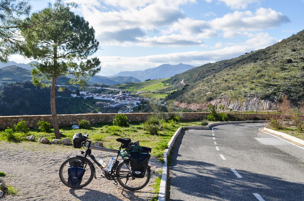
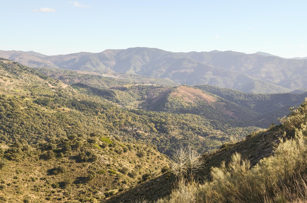
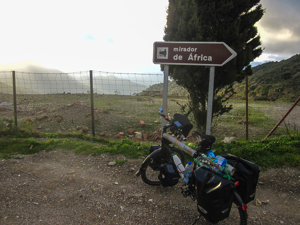
The smaller of the roads until the “bottom of Spain” is quite wide but rapidly deserted. There a many “miradors”, viewpoints overlooking the Serrania de Ronda and its little villages: Atajate, Benalauria, Algatocin, Gaucin. The road is going along the ridges of the Andalusian mountain range until Algeciras and the sea in the south. This makes the ride very scenic, on both sides. The landscape appears as very dry, rocks and inhospitable, but there are goats everywhere.
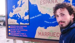
The hot sun is hitting me as I go fast in the descends. The road is bordered by a little stone wall. At one of the miradors, the landscape map is showing “Gibraltar” and “Marruecos”: victory! Almost. That means the end of my European leg. Yet, I can’t figure it on the horizon line. I can spot the sea but am not sure what is Gibraltar among the clouds.

The last kilometers of the day after Gaucin are made of a long descent. Those 10 effortless kilometers until San Pablo de Buceite feel like a paycheck for all the previous days of hills. I faced no major pass or famous mountains like I met in the Alps and Pyrénées, but managed to gain at least 1000 m of elevation per day for the last 8 days. It is a definite end of this hard and superb scenery when I read “12 meters a.s.l.” on my GPS.
At this speed, I realize also that it’s been a long time I didn’t see my counter stacking up kilometers that quickly. So I keep moving until the last day light, getting even closer to the ferry ports. When it is time to settle, still struggling to find a suitable spot without fence and ferocious dogs, I ask two locals in a field for a suggestion. They advise me not to jump over one of those fences because “hay toros”, mimicking the bull with their fingers over their heads. I am convinced and follow their suggestion to cycle 3 more kilometers until the tall trees.
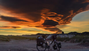
I mount my tent where where I would have ended up anyway, on the only unfenced area by the road, next to a river, just before Los Angeles. Is it very muddy so I hope it won’t rain during the night. This should be my last night on the European continent.


I was so infuriated when I realized that you describe here a perfect camping spot after Gaucín that is not “coto privado de caza” or a steep hill! And I was caught in this Brit-dominated pueblo after dark. A costly mistake in a place like this.