The morning starts with a visit of the abandoned factory that hosted me. Besides the two small offices looking fairly new, the main structure is a very long building that used to deliver precast concrete. The company is still running today in the USA but the documents I found are only up to 2004. Having read that the plant opened in year 2000, that’s a short life for something ugly now visible from many kilometers around.

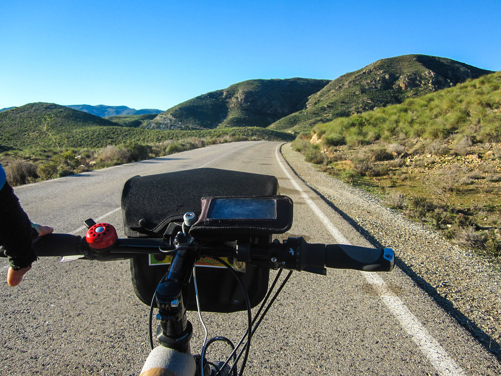
The day is beautiful and I go south towards Almeria. The goal of the day is to reach Alhama de Almeria. “Alhama” comes from al-Hammam and designates the baths. This part of Spain was occupied by the Muslims for more than 7 centuries, between the Romans and the Christians, and I should witness an interesting mix in the architecture. However, the reason to make the Alhama my daily goal is only to soak in the baths. While touring Hokkaido in Japan, I was going almost every day in shizen rotenburos, natural hot springs in the nature, and my legs felt like new ones every morning. And of course, I prefer a thousand times going to sleep with light sulfur smell on my skin than the sticky sweat of the cycling day.

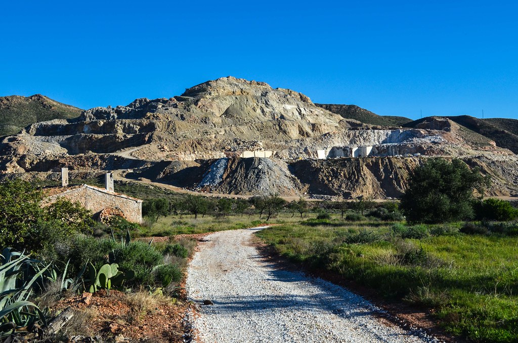
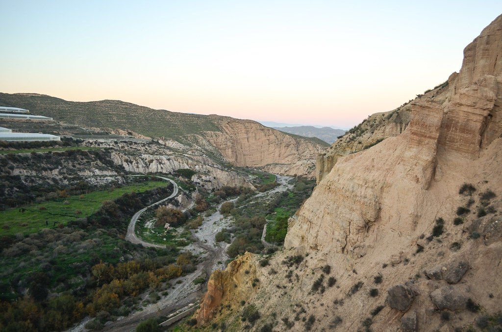
I continue on the small road I am already on, because of having turned away yesterday evening to find the factory indicated by the man of the orange field. It is not the main road going to Lubrín but it is going there too, according to Google Maps, so I don’t even have to U-turn. It is suspiciously paved, for a region so deserted, but I guess it’s because of some industrial activity.
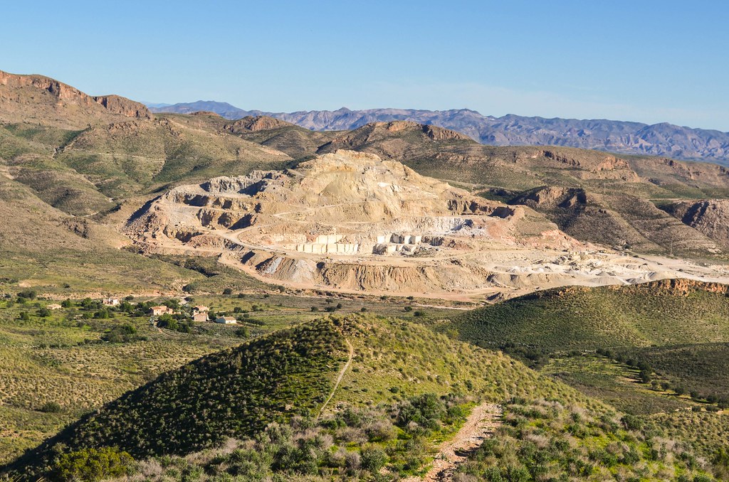
Indeed, after a few kilometers, the paved road leads straight to a quarry. Fortunately, it is not the end of the road, but what continues is a gravel road. Well, I’ll just continue.

I have hard time to find the track after the small abandoned village of 10ish houses near the quarry. Nothing looks like the road, and helped by Google Maps, I find it again. But I really wonder why it is marked as a road …

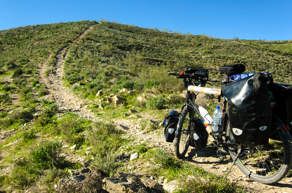
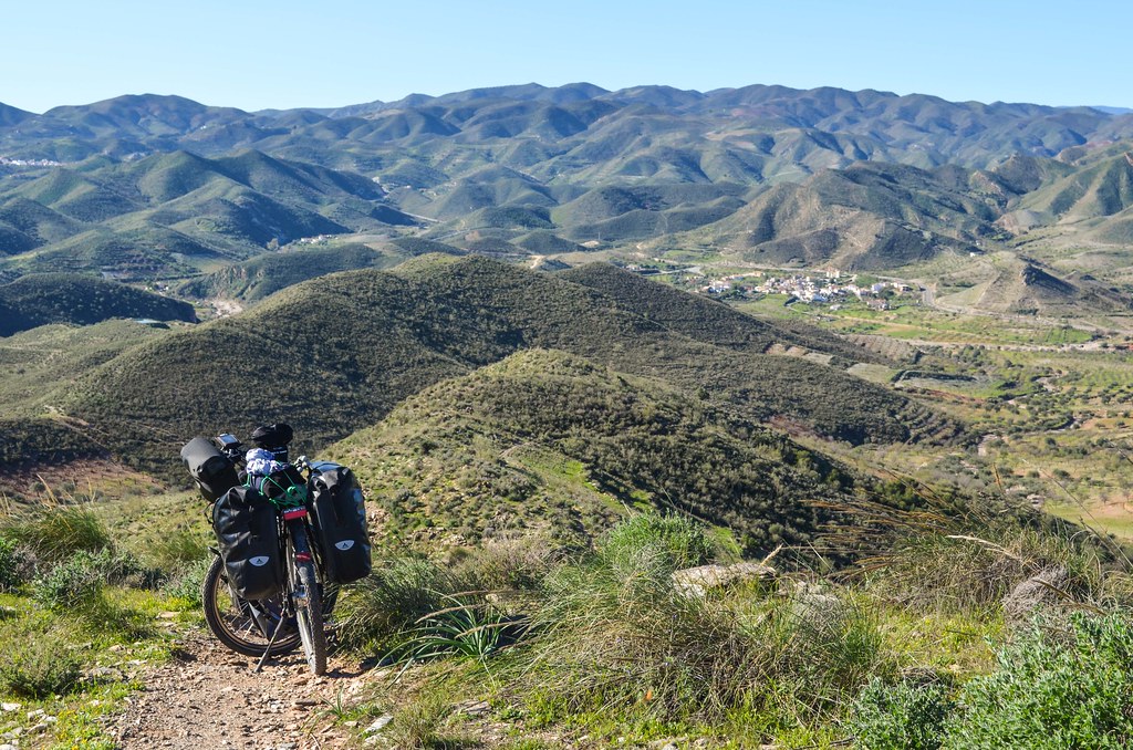
Even though it was a track usable by a car in the beginning, it has nothing to do with a normal path now. It is at best an unmarked hiking trail. I really hate the idea of quitting and going backwards, so I keep progressing. Even if I have to carry the bike at times on my shoulders. I know that this “road” will eventually take me back to the main one, with asphalt, in a few kilometers.

It becomes terrible when the “track” becomes like this:
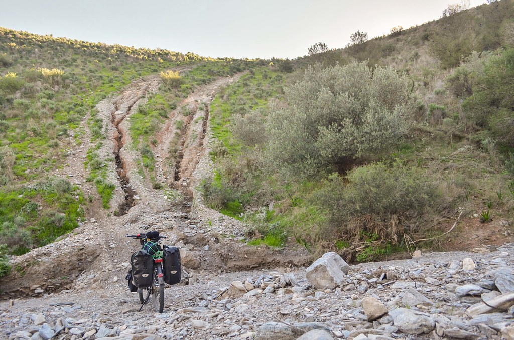
The slope is steep enough to slip on the small rocks just while walking. It’s impossible to continue with pushing the bike. The only solution is now to carry it. With 40 kg on one shoulder, each step is challenge. I feel like a weightlifter making a successful lift at each mini step to gain 15 cm of elevation without slipping feels like a victory. My shoulder is in pain and after really tough minutes, I reach the top of this nonsense track.
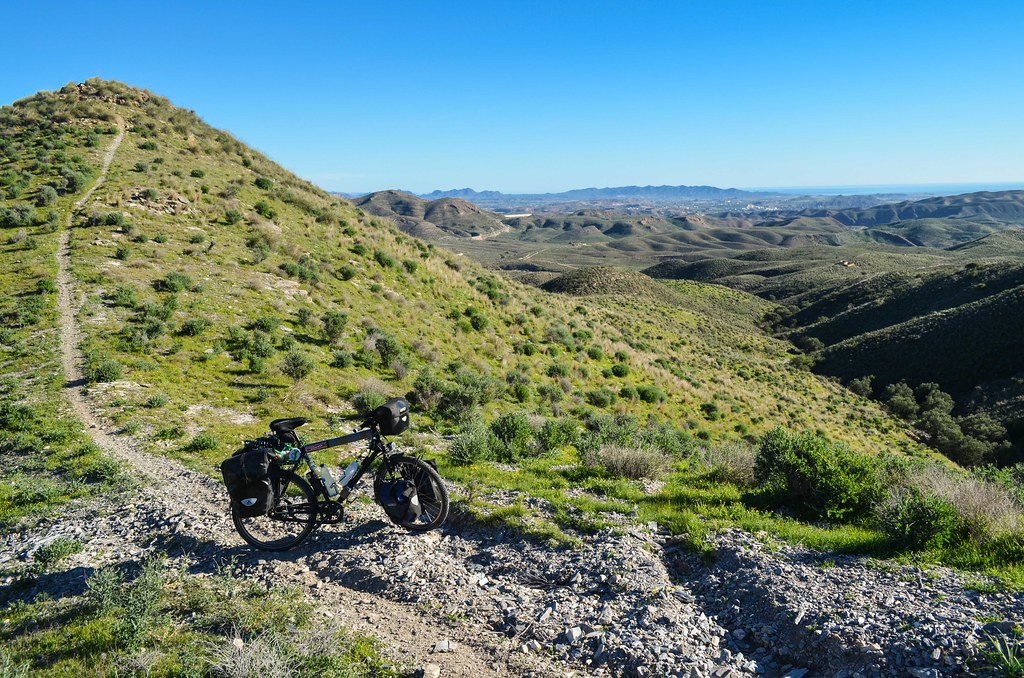
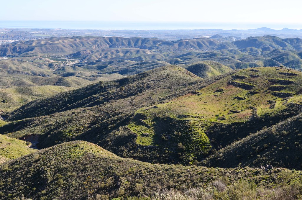
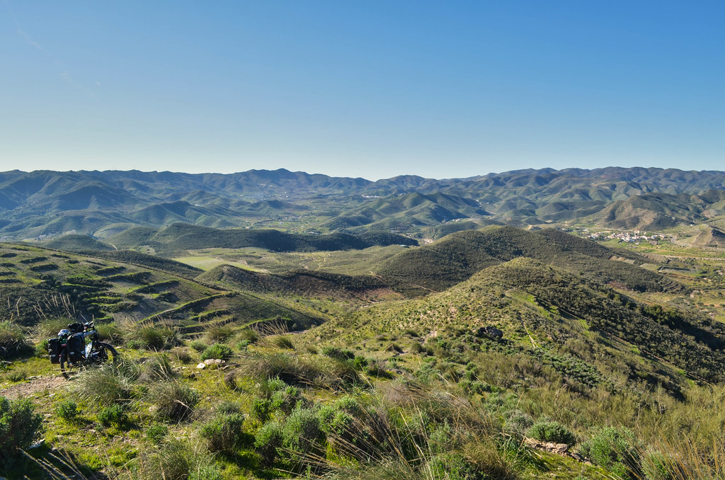
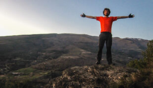
I enjoy the scenery. After all, even if I don’t know how I’ll get out of this nightmare, I must take something out of it.
After pushing, another bike-carry session to get on the top of this hill is necessary. I hope it’s the last one. It would be wrong to say that I’m lost. I know very well where I am. I just can’t say how many hours I’ll need to get out of this hiking trail, and more seriously, if I can get out. It could happen that there is an impassable stretch, as the previous one was already on the borderline.
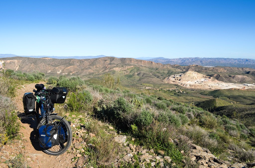
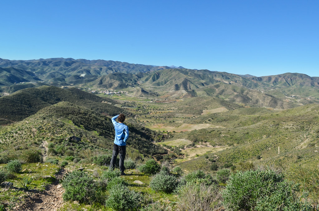
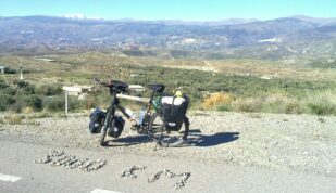
And finally from over the hill, I can see the paved road and the village of El Pocico. It would be OK to push up and go down with a mountain bike, but mine is not flexible enough and too heavy for that. I go down by walking, cycling and carrying, but now relieved that I am getting somewhere else today.
When I get to Lubrín, it is already 1 pm and I have done only 10 km. I get a fresh lemonade can, that tastes better than any can, and some lunch material. I re-start “for real” and will try to make some kilometers for the day.

The road still climbs up after Lubrín. I remember now that it is the last small mountain barrier from the relief map before the south of Spain. The province of Almeria is said to receive the most hours of sunshine of Europe. I can feel it on my head while cycling up, it is really hot and I sweat faster than I drink.
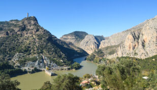
Once in the descent, it feels like if someone had just switched on the air conditioned over me. It only lasts 5 minutes but is enough to dry my face and shirt. The next town on the way is Uleila del Campo,dominated by Nuestra Señora de Monteagud above 1000 m.
 was shot.")

The road is a smooth downhill for many kilometers and I feel like I’m making up for the misadventure of the morning. I am heading to Tabernas, before which I am warned by Hollywood signs.

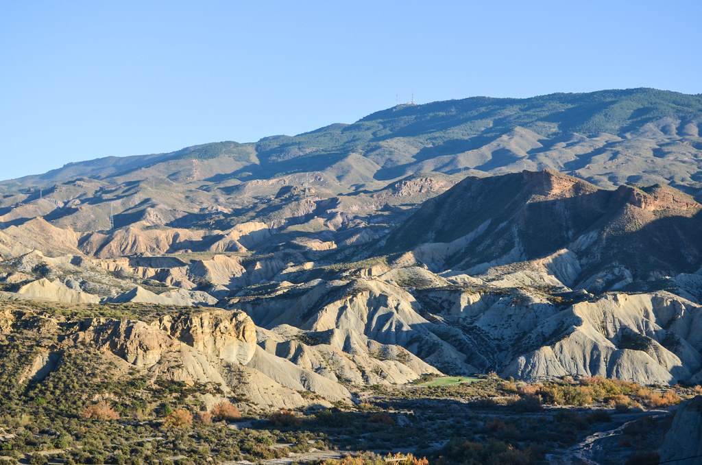
Tabernas is a small town in the north of Almeria. It is at the gate of the eponymous desert, said to be the only desert of Europe, that I am not crossing but cycling along for a few kilometers. To cross the desert, the only option would be to take the highway A-92. Or to take the apparently existing tracks for someone well equipped and well documented …
There are many signs related to movies, simply because many very famous movies, like Lawrence of Arabia, Indiana Jones, and the westerns of Sergio Leone, were shot here. If all the western films look similar, it is because they are only 3 fake villages to shoot them. They are now converted into theme parks about it.


It is getting dark and I must reach Alhama de Almeria soon. I have a 10 km stretch alone on the national road N-340, serving today as a service road for the highway A-92 that runs parallel to it. But then, from the bottom of the valley, I must go up again. Chased by the night, my legs get a second wind to reach my goal on time.
However, when I get to the only building doing baths, I read it’s closed for renovation. Very disappointed to have gone far this very very long day (supposed to be the shortest of the year) just to get stuck in a small unwelcoming town, I cycle a bit away from it to find a camp spot. It’s very difficult at night and I can’t tell where I am, in a private field or not. But there are so many dogs, probably seeing me at the light of the moon, barking in a terrible noise across the valley,that I can’t find a restful place. Each fence has several dogs running along and barking loud, I can’t settle anywhere. I finally get back in town to a shelter previously spotted to end this very intense day.

Waow, tu te dis jamais que tu pourrais faire demi-tour ? M’enfin, si au moins t’avais eu droit à des bains chauds à l’arrivée pour te remettre de l’effort…mais non…Bon, ben chapeau, bon courage pour les prochaines étapes, en espérant que t’auras souvent le vent dans le dos et pas trop de chiens à tes trousses !!!
Ben dans ces cas la tu sais jamais vraiment quand ca va se terminer (ou si ca va empirer), donc le demi-tour serait a faire tout au début. Et surtout, ca ferait une mauvaise trace GPS !