I wake up in Peter’s workshop, grasp some info about Obama and the weather forecast on Radio BeO in Berner düütsch (sign of a successful day) and start my ride. It is finally a good weather and I can compensate the climbing pain by wonderful views.
I leave the main road to go on the other side of the valley, where the small path linking the farms is used as a bike road. The snow starts to replace the grass around me and I climb up, still along the rail tracks of the Golden Pass, until Saanen.
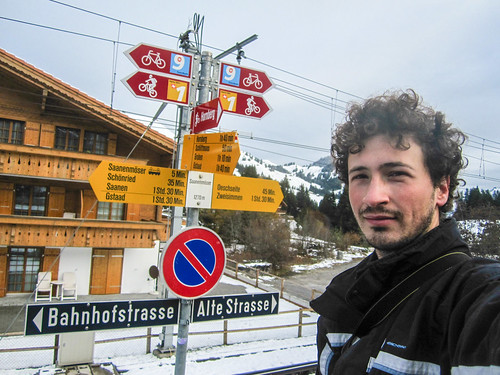
There, almost immediately, the scenery opens and justifies why I have been enduring the cold rain for the last days:
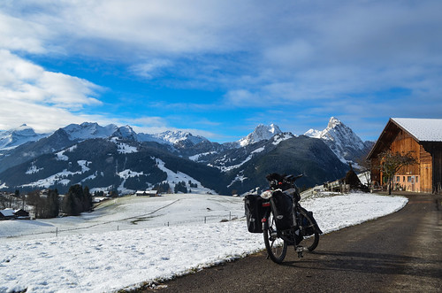
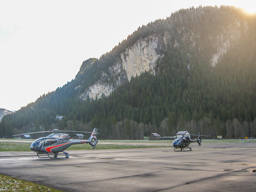
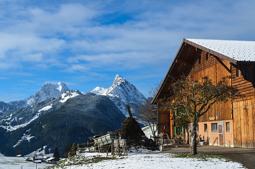
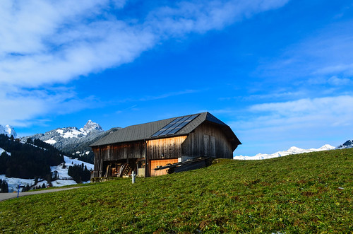
The road disappear for a short while in a narrow passage between Saanen and and Rougement. Rougement is the first town on the French speaking side of Switzerland. I thought there would be a blur zone where signs would be in both German and French, but it’s not the case. The shop signs and road signs all change language behind this turn.
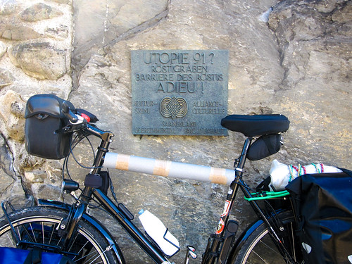
I then leave the bike path to go through Château-d’Œx. It’s very quiet. Unfortunately the Balloon museum is closed for the whole month of November.
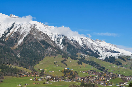
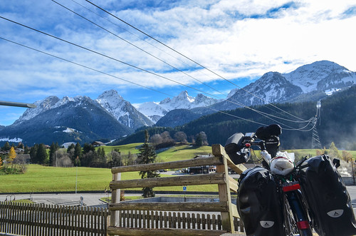
After Château-d’Œx, I can decide to go north until Bulle, or south until Aigle. On the suggestions of Aline I take neither of those roads, but make a turn on the Col des Mosses, at La Lécherette, to reach the the Lake Geneva by the dam lake of Hongrin and the military valley.
The Col des Mosses is going higher than I expected. La Lécherette is at 1450m. It must be cold but the slopes don’t leave me time to stop steaming. In doubt when the road leads me straight into the glaciers, I have a look at the map and see it as a dead-end. The sun reflection has scared me by hiding the second part of the road, going actually through those mountains. It’s not obvious either to see from the road itself. It climbs with little turns in the woods.

After turning right in La Lécherette, a beautiful dead small town,under some 20cm of snow, with ski lifts not currently working, I am on my way to the military area of the Lake of Hongrin. There is a road going down to Aigle from here, but it’s reserved (and the whole valley too) to the Swiss army for shooting exercises. I give it a try but am soon stopped by guards notifying me of the shootings. I must take then the small path on the other side of the lake.

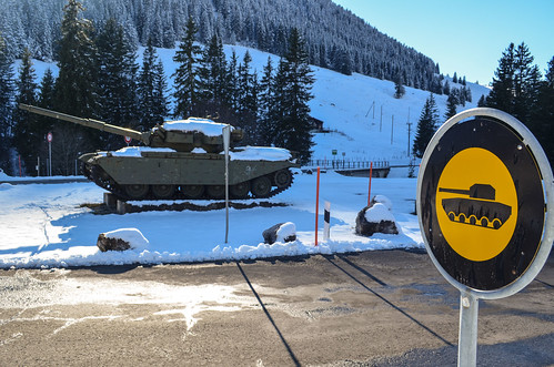

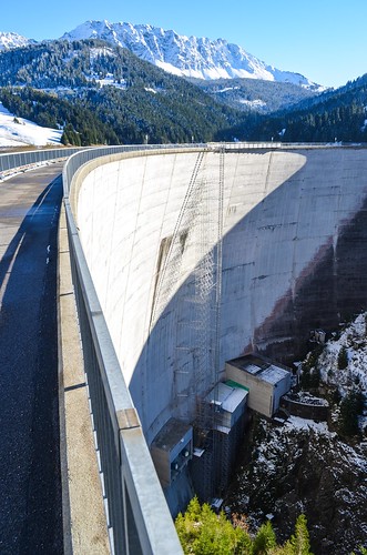
After the dam, the road (also bike path SchweizMobil #4) looks like a very old mountain road not maintained anymore. Partly gravel, partly paved with potholes, and destroyed fences supported to protect from the gorge sometimes deep. The valley is very quiet, in the shadow, without a noise. I wonder where it will actually take me to.

At the bottom, in the open air again, I am at the tiny train stations of Les Cases and Les Allières. Les Cases is one of those train stations in the middle of nowhere, without inhabitants. Probably one of those stations only to pick up and drop off hikers. It’s 16:00, soon dark and I realize that I’m not quite in Montreux as I wanted to. There is a last pass to climb, the Col de Jaman. A lady, one of the 2 individuals I will see in this valley, tells me that it’s higher than the one I just come from (La Lécherette was 1450m, and Jaman is 1512 meters high). No good news. She tells me that she can walk it up in 1,5 hrs, so I decide to go with my bike and see Montreux and lake Geneva, just on the other side, before the night.
The first meters are icy. I can’t push a 40 kg package while slipping on the iced road, it’s even dangerous. On the other hand, to avoid this pass (5 km up and another 5 down to Montreux), the only other road is to cycle down the valley through Montbovon until Bulle, and then come back to the lake. That would make 60 km to Montreux instead of 10. So I decide to spend the night here, in Les Cases.
It is 2°C in my tent through the night, probably minus something outside. I sleep well, but not too warm, so this should be my limit. The drawback of sleeping almost in the snow is that I have a steam just nearby to fill up my bottles and cook rice for breakfast. I can start pushing, optimistically cycling, up this Col de Jaman.
I get rid of the ice on the first part of the road. Then the path gets in the woods, and I can try cycling on patches of snow and leaves.
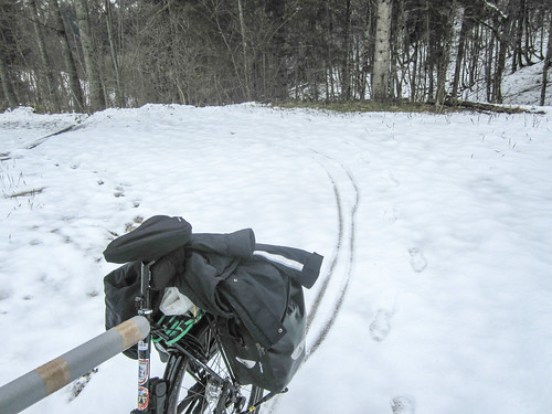
At least I have nice weather. But then the path is covered in snow. More and more snow. What would be nice descent on skis is a nightmare uphill with a fully loaded bike.
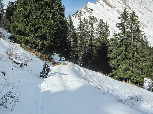
I takes me 3,5 hours to push on the few kilometers of the pass and to gain some 400 meters of elevation. I have to stop every now and then to remove the snow packing and sticking to the wheel spokes and the brakes. In the bad luck, I lose my jacket twice and have to run down and up again. The bungee cord holding my jacket on the rear rack also got stuck inside the rear hub.
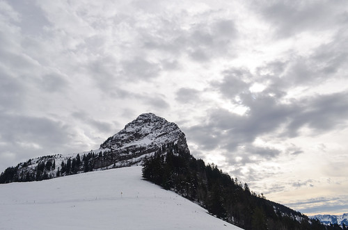
Finally, I make it to the top, finally … That’s a huge relief. The restaurant there is closed for repair. That was my motivation for the whole push-climb. Re-bad luck indeed, but I’m satisfied enough with the view of the Alps beyond Lake Geneva.
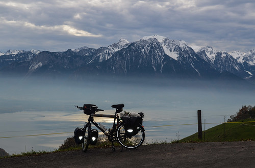
The road down to Montreux or the Lake Geneva is a 1100+ meters downhill over the next kilometers. Fortunately, the path is cleared of snow on this side. However, with the snow still melting on my bike, my rims are covered by a very light layer of water that makes my brakes ineffective.
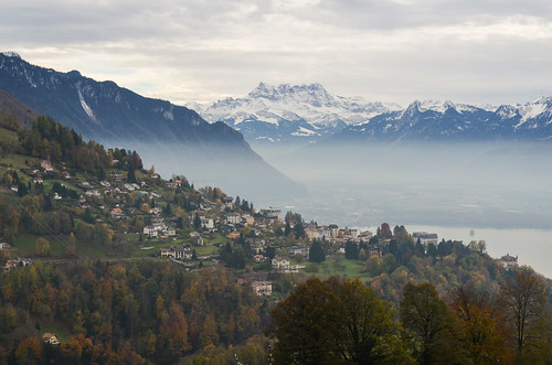
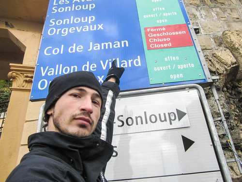
The Fork in Vevey reminds me that it’s 15:00 and I still didn’t eat anything since breakfast.

I must reach Aline in Lausanne before the night and take it easy. After all, it’s only 20 km away and I have 2 hours of daylight. I take the road going midway up in the hills and going through the vineyards. It’s another excellent bike route from SchweizMobil.ch, narrow and almost car-free. The scenery is amazing, cycling through the vineyards and having a view on the snowy peaks across the lake.
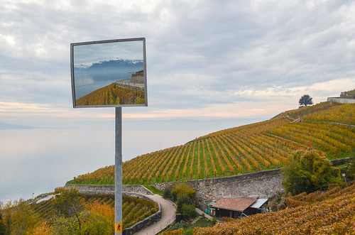

The significant drawback of this route is that it doesn’t keep a regular elevation. Like a snake, it keeps turning a bit on the left, a bit on the right. The elevation of Lake Geneva is 370 m, but the hills only 3 km from the shore are already at 650 m. That makes an average slope of 10% … and every descent must be payed back later by climbing again. Lausanne is so close but never reached …
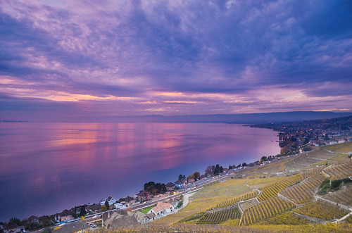
I am finally caught by the night just before entering Lausanne. I have to face insane climbs that I can’t cycle even with the lowest gear. I decide not to take any downhill path to maintain my decent and hard worked elevation, but this strategy will lead me much higher than necessary. Arriving by night, among the cars, in a “big” city is never pleasant, but I finally make it safe and can close the chapter over this crazy day. With a visit to the wine-tasting COOP boat.
The next day is my last day in Switzerland. From Lausanne to Pontarlier, France, I have only 60 km to cycle, and no notorious climb. I am cheered up by this idea of a “relaxing” day, cycling at decent speed on the flat.
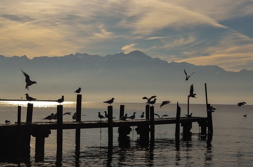

The morning ride on a narrow path along the Lake Geneva is very pleasant. People jog, animals play, swans get clean … I leave it in St Sulpice to head straight North and reach France.
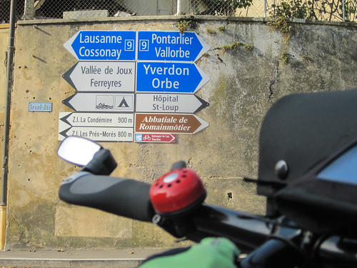

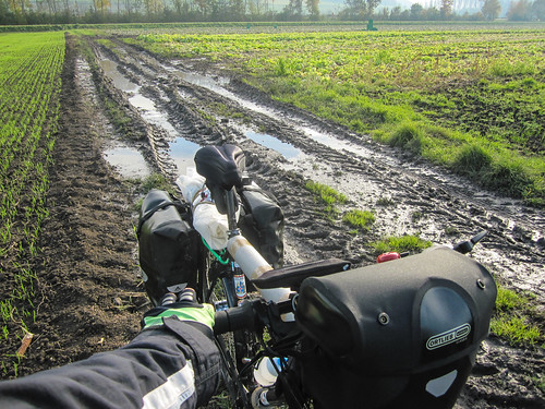
At one point, I am prevented to go take a left turn along a water stream. There is a prison nearby and the prisoners are working in those fields. I cycle around and try to maintain my direction, just straight north. This won’t work and I will end up in Yverdon.
From Yverdon to Pontarlier, I don’t have much to do. Or so I thought. Only some 30 km, but the night is coming soon, very soon. My legs are like legs at the end of the day, not ready to set up the full power, but I have too. It is also supposed to rain at the end of the day, and I don’t want to have a nice day spoiled just in the last minutes.
The trick became obvious in Vuiteboeuf. I had already climbed 200 gentle meters of elevation from Lake Neuchatel. I am very close to St Croix, at the Swiss-French border. But I didn’t expect this: a climb from 600m to 1150m over the next 10 km. To be added to some rain drops. And the most dangerous, the cross-border workers commuting back to France and racing in the hairpin bends of the road.
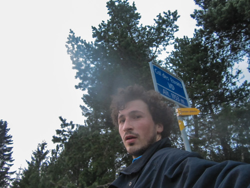
I reach the Col des Etroits (where Giuze organized the CS open air this year), taking only 2 short breaks on the way. My legs are not responsive anymore but my mind is driving them. I pass the border to France when the sun sets and must do my last 15 km in the woods at night, again a risky descent, but am glad to make home today. Quite stressing for a supposedly flat and relaxing day.
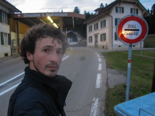
My legs can finally collapse and I’m welcomed by some good news:
- I passed my Deutsch Zertifikat B1 with 85% (even though I don’t know when I’ll have a chance to make use of it before forgetting it)
- I received my stickers (swiss-french-keyboard) to stick over my french keyboard (where the Shift key is too often needed for most common characters like a dot and the digits), making it easier to get the characters on the number keys.
- I received my Groland passport and country sticker to travel further, with the greetings of the President Salengro.
Besides some admin work, I take advantage of the heavy rain pouring over Pontarlier to get a French SIM and to saw a bit of my Vaude tent poles, as convenient (30cm tall when packed) as grumpy. I’ll have to replace my broken tripod Takeshi later as it’s not available here.
So this was Switzerland. Tough rides but so nice scenery and convenient bike paths. I’m now ready to reach Spain through Lyon, the Massif Central, and the Pyrénées depending on the cold and the snow …


Well done! 🙂
Congratulations for your German certificat!
Take care.
😉
Salut JB,
Alors ça y est: le grand voyage commence!!!! En tout cas tes photos sont magnifiques! J’ai hâte de lire la suite de tes aventures!
Bonne route!
Hey – great photos. Looking forward to reading about the rest of your adventures!